| Yron | |
|---|---|
 | |
  | |
| Location | |
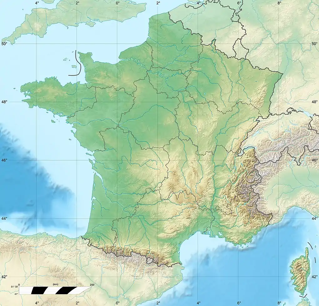
| Country | France |
| Physical characteristics | |
| Source | |
| • location | Vigneulles-lès-Hattonchâtel |
| • coordinates | 48°58′42″N 5°40′58″E / 48.9783°N 5.6827°E |
| Mouth | |
• location | Orne |
• coordinates | 49°10′02″N 5°51′43″E / 49.1673°N 5.862°E |
| Length | 37.4 kilometres (23.2 mi) |
| Basin size | 380 square kilometres (150 sq mi) |
| Discharge | |
| • average | 4.01 m3/s (142 cu ft/s) |
| Basin features | |
| Progression | Orne→ Moselle→ Rhine→ North Sea |
| Tributaries | |
| • left | Longeau |
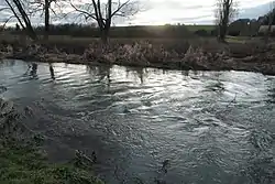
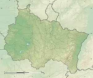
The Yron (French pronunciation: [iʁɔ̃]) is a 37.4-kilometre (23.2 mi) long river in the Lorraine (region) of northeastern France.[1] It rises in Vigneulles-lès-Hattonchâtel and runs generally northeast to join the Orne river at Conflans-en-Jarnisy.
References
This article is issued from Wikipedia. The text is licensed under Creative Commons - Attribution - Sharealike. Additional terms may apply for the media files.