Yoron Airport 与論空港 Yoron Kūkō | |||||||||||
|---|---|---|---|---|---|---|---|---|---|---|---|
| Summary | |||||||||||
| Airport type | Public | ||||||||||
| Location | Yoronjima (Yoron Island), Japan | ||||||||||
| Elevation AMSL | 47 ft / 14 m | ||||||||||
| Coordinates | 27°02′38″N 128°24′06″E / 27.04389°N 128.40167°E | ||||||||||
| Map | |||||||||||
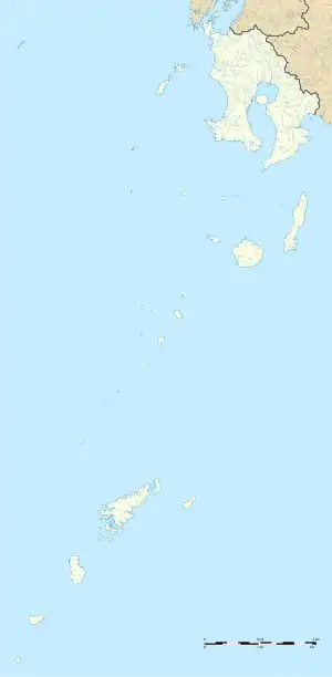 RORY Location in Japan 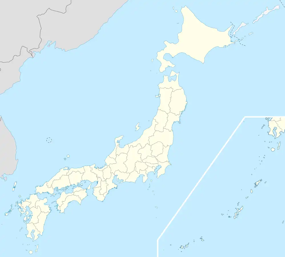 RORY RORY (Japan) | |||||||||||
| Runways | |||||||||||
| |||||||||||
| Statistics (2015) | |||||||||||
| |||||||||||
Source: Japanese Ministry of Land, Infrastructure, Transport and Tourism[1] | |||||||||||
Yoron Airport (与論空港, Yoron Kūkō) (IATA: RNJ, ICAO: RORY) is a third-class airport located on Yoronjima (Yoron Island) in Kagoshima Prefecture Japan.
History
Yoron Airport was opened on 1 May 1976. On 12 May 2005, the runway was strengthened to enable operations by the Bombardier Dash 8 aircraft.
Airlines and destinations
| Airlines | Destinations |
|---|---|
| Japan Air Commuter | Amami Ōshima, Kagoshima |
| Ryukyu Air Commuter | Naha |
References
- ↑ "Yoron Airport" (PDF). Japanese Ministry of Land, Infrastructure, Transport and Tourism. Archived from the original (PDF) on 21 October 2016. Retrieved 7 January 2017.
External links
![]() Media related to Yoron Airport at Wikimedia Commons
Media related to Yoron Airport at Wikimedia Commons
- Yoron Airport Guide from Japan Airlines
- Current weather for RORY at NOAA/NWS
- Accident history for RNJ at Aviation Safety Network
1 Joint civil-military use | |||||||||||||||||
| Major hubs | |||||||||||||||||
| International |
| ||||||||||||||||
| Domestic |
| ||||||||||||||||
| General aviation | |||||||||||||||||
| Military |
| ||||||||||||||||
| Heliports | |||||||||||||||||
| Defunct | |||||||||||||||||
| Statistics | |||||||||||||||||
This article is issued from Wikipedia. The text is licensed under Creative Commons - Attribution - Sharealike. Additional terms may apply for the media files.