| Wolf | |
|---|---|
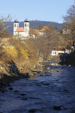 The Wolf below Schapbach | |
| Location | |
| Country | Germany |
| State | Baden-Württemberg |
| Reference no. | DE: 23432 |
| Physical characteristics | |
| Source | |
| • location | Junction of the Black Forest High Road with the B 28, about 10 km west of Freudenstadt |
| • coordinates | 48°28′38″N 8°16′29″E / 48.4772750°N 08.2747000°E |
| • elevation | ca. 957 m above sea level (NHN) |
| Mouth | |
• location | Near Wolfach into the Kinzig |
• coordinates | 48°17′57″N 8°13′12″E / 48.2991472°N 8.2201028°E |
• elevation | under 260 m above sea level (NHN) |
| Length | 30.7 km (19.1 mi) [1] |
| Basin size | 127 km2 (49 sq mi) [1] |
| Basin features | |
| Progression | Kinzig→ Rhine→ North Sea |
| Landmarks |
|
Wolf is a river of Baden-Württemberg, Germany. The historical name of the river is Wolfach. It passes through Bad Rippoldsau-Schapbach and flows into the Kinzig in Wolfach.
One of its tributaries flows over the Burgbach Waterfall, one of the highest free-falling waterfalls in Germany.
See also
References
This article is issued from Wikipedia. The text is licensed under Creative Commons - Attribution - Sharealike. Additional terms may apply for the media files.