| Wiwannihorn | |
|---|---|
 The Wiwannihorn (central mountain) from Unterbäch | |
| Highest point | |
| Elevation | 3,001 m (9,846 ft) |
| Prominence | 147 m (482 ft)[1] |
| Parent peak | Finsteraarhorn |
| Coordinates | 46°21′17.7″N 7°51′22.3″E / 46.354917°N 7.856194°E |
| Geography | |
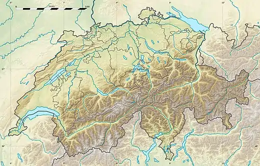 Wiwannihorn Location in Switzerland | |
| Location | Valais, Switzerland |
| Parent range | Bernese Alps |
The Wiwannihorn is a mountain of the Bernese Alps, located north of Ausserberg in the canton of Valais. It lies on the range between the Bietschtal and the Baltschiedertal, south of the Bietschhorn.[2]
The Wiwannihorn can be climbed easily on its normal route with proper equipment. Several more technical, multi-pitch free climbing and alpine climbing routes lead to the top as well. The most famous is probably the Steinadlerroute. The basecamp for climbing the Wiwannihorn is the Wiwanni hut [3] that is accessible from Ausserberg via a hiking trail or a via ferrata through the Baltschieder valley.
References
- ↑ Retrieved from the Swisstopo topographic maps. The key col is the Wiwannijoch (2,854 m).
- ↑ "Wiwannihorn : Climbing, Hiking & Mountaineering : SummitPost". www.summitpost.org. Retrieved 2016-06-28.
- ↑ Wiwanni hut
External links
This article is issued from Wikipedia. The text is licensed under Creative Commons - Attribution - Sharealike. Additional terms may apply for the media files.