Westkerke | |
|---|---|
Hamlet | |
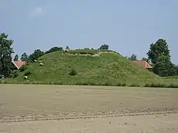 Artificial flee mountain | |
 Flag  Coat of arms | |
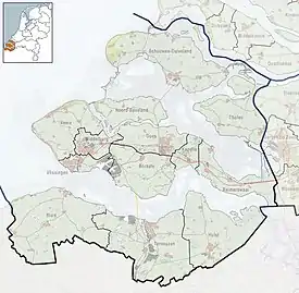 Westkerke Location in the province of Zeeland in the Netherlands 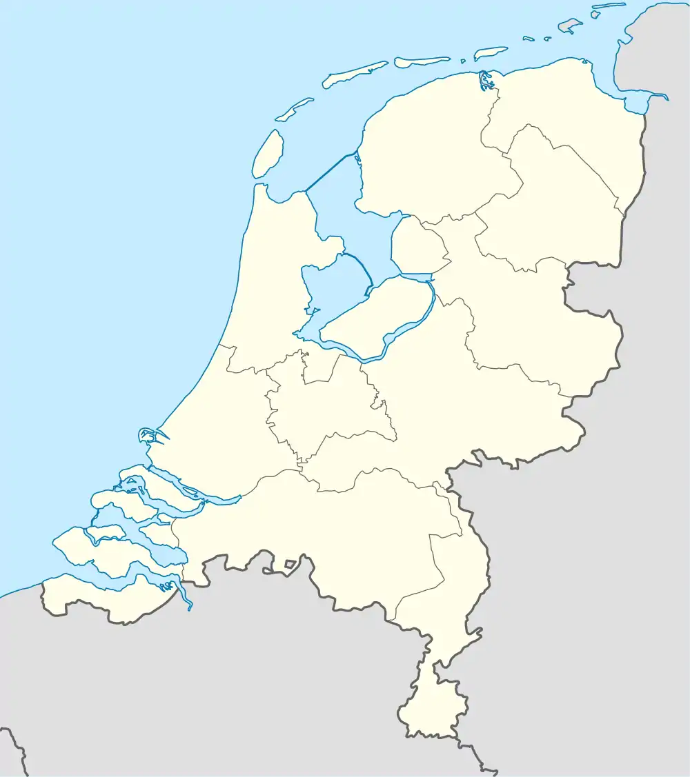 Westkerke Westkerke (Netherlands) | |
| Coordinates: 51°32′11″N 4°5′39″E / 51.53639°N 4.09417°E | |
| Country | Netherlands |
| Province | Zeeland |
| Municipality | Tholen |
| Time zone | UTC+1 (CET) |
| • Summer (DST) | UTC+2 (CEST) |
| Postal code | 4694[1] |
| Dialing code | 0166[2] |
Westkerke is a hamlet in the southwest Netherlands. It is located in the municipality of Tholen, Zeeland, about 1 km southwest of Scherpenisse.
Westkerke is not a statistical entity,[1] and the postal authorities have placed it under Scherpenisse.[2] It consists of about 15 houses.[3]
Westkerke has an artificial vlietberg (flee mountain), an artificial mound built between the 10th and 13th century which could contain a motte-and-bailey castle.[4]
Westkerke was a separate municipality until 1816, when it was merged with Scherpenisse.[5] Westkerke was home to 227 people in 1840. Scherpenisse merged in 1971 into Tholen.[3]
References
- 1 2 "Kerncijfers wijken en buurten 2021". Central Bureau of Statistics. Retrieved 22 April 2022.
not found
- 1 2 "Postcode Westkerke in Scherpenisse". Postcode bij adres (in Dutch). Retrieved 22 April 2022.
- 1 2 "Westkerke". Plaatsengids (in Dutch). Retrieved 22 April 2022.
- ↑ "Monumentnummer: 46034 te Scherpenisse". Dutch Monument Register (in Dutch). Retrieved 22 April 2022.
- ↑ Ad van der Meer and Onno Boonstra, Repertorium van Nederlandse gemeenten, KNAW, 2011.
This article is issued from Wikipedia. The text is licensed under Creative Commons - Attribution - Sharealike. Additional terms may apply for the media files.