Warbranch, Kentucky | |
|---|---|
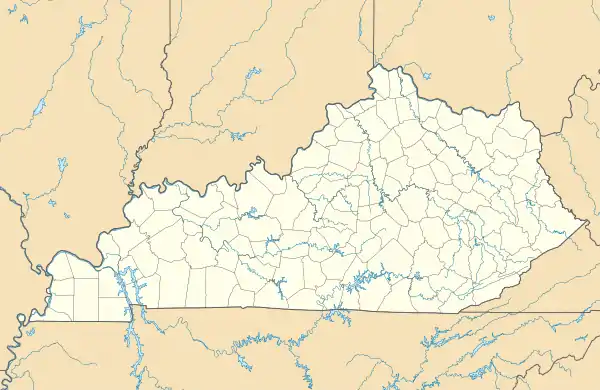 Warbranch Location in Kentucky  Warbranch Location in the United States | |
| Coordinates: 36°57′24″N 83°27′0″W / 36.95667°N 83.45000°W | |
| Country | United States |
| State | Kentucky |
| County | Leslie |
| Elevation | 1,263 ft (385 m) |
| Time zone | UTC-5 (Eastern (EST)) |
| • Summer (DST) | UTC-4 (EST) |
| ZIP codes | 40874 |
| GNIS feature ID | 516225[1] |
Warbranch is an unincorporated community in Leslie County, Kentucky, United States.
References
Municipalities and communities of Leslie County, Kentucky, United States | ||
|---|---|---|
| City |  Location of Leslie County, Kentucky | |
| Unincorporated communities | ||
| post offices (and the creeks they are on) |
| |
This article is issued from Wikipedia. The text is licensed under Creative Commons - Attribution - Sharealike. Additional terms may apply for the media files.