Waikabubak | |
|---|---|
 Waikabubak | |
 Waikabubak Location in Indonesia 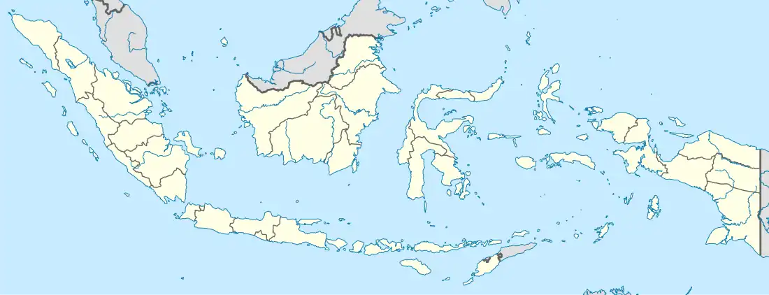 Waikabubak Waikabubak (Indonesia) | |
| Coordinates: 9°38′09″S 119°24′47″E / 9.63583°S 119.41306°E | |
| Country | Indonesia |
| Region | Lesser Sunda Islands |
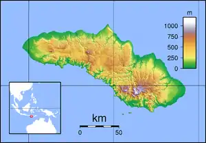
| Province | East Nusa Tenggara |
| Regency | West Sumba |
| Area | |
| • Total | 44.71 km2 (17.26 sq mi) |
| Population (mid 2022 estimate) | |
| • Total | 33,821 |
| [1] | |
| Time zone | UTC+8 (WITA / UTC) |
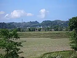
Waikabubak is a town in East Nusa Tenggara province of Indonesia and it is the capital of West Sumba Regency. Waikabubak is the second largest town on Sumba island after Waingapu; it had a population of 33,064 at the 2020 Census,[2] and the official estimate as at mid 2022 was 33,821.[3]
Gallery
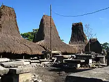 The traditional village of Tarung near Waikabubak (picture taken in 2008)
_der_marapoe-kampoeng_Taroeng_in_het_landschap_Laoeli_(West-Soemba)._De_vele_graven_zijn_op_deze_heiligste_plek_geplaatst_rondo%252C_KITLV_503707.tiff.jpg.webp)
%252C_vna_den_voorkant_(het_Oosten)_gezien._De_karbauwenkop_mooier_behandeld_dan_op_eenig_ander_West-S%252C_KITLV_503294.tiff.jpg.webp) 1910 picture of a richly decorated grave in Waikabubak
1910 picture of a richly decorated grave in Waikabubak
References
This article is issued from Wikipedia. The text is licensed under Creative Commons - Attribution - Sharealike. Additional terms may apply for the media files.