Vleteren | |
|---|---|
 | |
 Flag  Coat of arms | |
Location of Vleteren | |
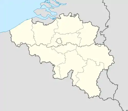 Vleteren Location in Belgium
Location of Vleteren in West Flanders 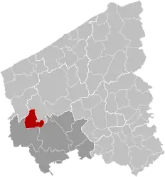 | |
| Coordinates: 50°56′N 02°44′E / 50.933°N 2.733°E | |
| Country | |
| Community | Flemish Community |
| Region | Flemish Region |
| Province | West Flanders |
| Arrondissement | Ypres |
| Government | |
| • Mayor | Stephan Mourisse (Open Vld) |
| • Governing party/ies | Landelijke Volkspartij (LVP) |
| Area | |
| • Total | 38.58 km2 (14.90 sq mi) |
| Population (2018-01-01)[1] | |
| • Total | 3,659 |
| • Density | 95/km2 (250/sq mi) |
| Postal codes | 8640 |
| NIS code | 33041 |
| Area codes | 057 |
| Website | www.vleteren.be |
Vleteren (Dutch pronunciation: [ˈvleːtərə(n)]) is a municipality located in the Belgian province of West Flanders. The municipality comprises the towns of Oostvleteren, Westvleteren and Woesten. On January 1, 2006, Vleteren had a total population of 3,636. The total area is 38.15 km2 which gives a population density of 95 inhabitants per km2.
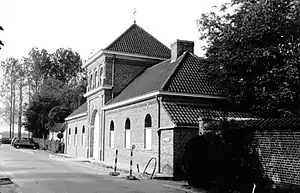
Saint-Sixtus Abbey in Westvleteren

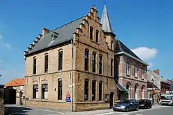
From the place Woesten: the St. Rictrudis church from southwest, rebuilt in 1923 (origin in the 15th century)

Place Woesten: Entrance portal of St. Rictrudis Church (from the west), the church had no spire
References
- ↑ "Wettelijke Bevolking per gemeente op 1 januari 2018". Statbel. Retrieved 9 March 2019.
External links
 Media related to Vleteren at Wikimedia Commons
Places adjacent to Vleteren | ||||||||||||||||
|---|---|---|---|---|---|---|---|---|---|---|---|---|---|---|---|---|
| ||||||||||||||||
| Bruges | 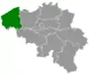 | |
|---|---|---|
| Diksmuide | ||
| Kortrijk | ||
| Ostend | ||
| Roeselare | ||
| Tielt | ||
| Veurne | ||
| Ypres | ||
| ||
This article is issued from Wikipedia. The text is licensed under Creative Commons - Attribution - Sharealike. Additional terms may apply for the media files.