Villasanta | |
|---|---|
| Comune di Villasanta | |
 Church of St. Anastasia. | |
 Coat of arms | |
Location of Villasanta | |
 Villasanta Location of Villasanta in Italy 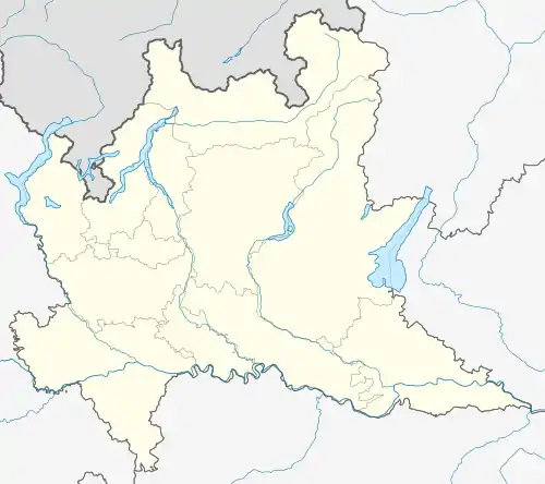 Villasanta Villasanta (Lombardy) | |
| Coordinates: 45°36′N 9°18′E / 45.600°N 9.300°E | |
| Country | Italy |
| Region | Lombardy |
| Province | Monza and Brianza (MB) |
| Frazioni | La Santa (communal seat), San Fiorano e Sant'Alessandro |
| Government | |
| • Mayor | Emilio Merlo |
| Area | |
| • Total | 4.9 km2 (1.9 sq mi) |
| Elevation | 173 m (568 ft) |
| Population | |
| • Total | 13,480 |
| • Density | 2,800/km2 (7,100/sq mi) |
| Demonym | Villasantesi |
| Time zone | UTC+1 (CET) |
| • Summer (DST) | UTC+2 (CEST) |
| Postal code | 20852 |
| Dialing code | 039 |
| Website | Official website |
Villasanta (La Santa) is a comune (municipality) in the Province of Monza and Brianza in the Italian region Lombardy, located about 20 kilometres (12 mi) northeast of Milan.
Villasanta borders the following municipalities: Arcore, Biassono, Monza, Concorezzo.
Comune Villa San Fiorano existed from 14. Century till 1757.[4]
References
- ↑ "Superficie di Comuni Province e Regioni italiane al 9 ottobre 2011". Italian National Institute of Statistics. Retrieved 16 March 2019.
- ↑ All demographics and other statistics: Italian statistical institute Istat.
- ↑ "Popolazione Residente al 1° Gennaio 2018". Italian National Institute of Statistics. Retrieved 16 March 2019.
- ↑ "Comune di Villa San Fiorano sec. XIV - 1757".
External links
This article is issued from Wikipedia. The text is licensed under Creative Commons - Attribution - Sharealike. Additional terms may apply for the media files.