Vikavågen | |
|---|---|
Village | |
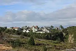 View of the village | |
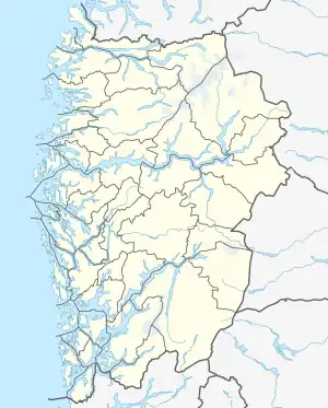 Vikavågen Location of the village 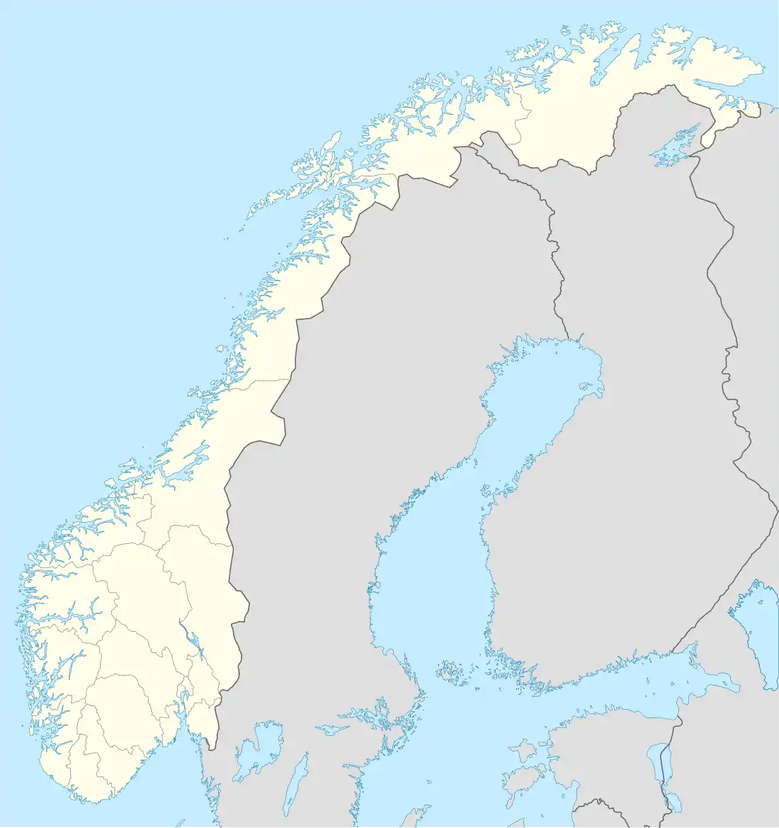 Vikavågen Vikavågen (Norway) | |
| Coordinates: 60°28′09″N 04°57′30″E / 60.46917°N 4.95833°E | |
| Country | Norway |
| Region | Western Norway |
| County | Vestland |
| District | Midhordland |
| Municipality | Øygarden |
| Area | |
| • Total | 0.46 km2 (0.18 sq mi) |
| Elevation | 3 m (10 ft) |
| Population (2019)[1] | |
| • Total | 656 |
| • Density | 1,426/km2 (3,690/sq mi) |
| Time zone | UTC+01:00 (CET) |
| • Summer (DST) | UTC+02:00 (CEST) |
| Post Code | 5337 Rong |
Vikavågen is a village in Øygarden municipality in Vestland county, Norway. The village lies on the southeastern coast of the island of Toftøyna. The 0.46-square-kilometre (110-acre) village has a population (2019) of 656 and a population density of 1,426 inhabitants per square kilometre (3,690/sq mi).[1]
References
- 1 2 3 Statistisk sentralbyrå (1 January 2019). "Urban settlements. Population and area, by municipality".
- ↑ "Vikavågen, Øygarden (Hordaland)" (in Norwegian). yr.no. Retrieved 24 November 2014.
This article is issued from Wikipedia. The text is licensed under Creative Commons - Attribution - Sharealike. Additional terms may apply for the media files.