| Vieux Fort River | |
|---|---|
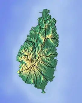 Location of mouth | |
| Location | |
| Country | Saint Lucia |
| Quarter | Vieux Fort Quarter |
| Physical characteristics | |
| Mouth | Vieux Fort Bay, Caribbean Sea |
• coordinates | 13°43′50″N 60°58′07″W / 13.7306°N 60.968675°W |
The Vieux Fort River is a river in Saint Lucia. It flows south-southeast, reaching the coast close to the country's southernmost point at the town of Vieux Fort. It is named after a fort that used to watch out towards Saint Vincent towards the south. [1][2][3][4]
See also
References
- ↑ "Vieux Fort River". National Geospatial Intelligence Agency. Retrieved August 3, 2021.
- ↑ "Integrating the Management of Watersheds and Coastal Areas in St. Lucia". Water Resources Management Unit, Ministry of Agriculture, Forestry and Fisheries Government of St. Lucia. 2001. Retrieved August 3, 2021.
- ↑ Harmsen, Jolien; Ellis, Guy; Devaux, Robert (2014). A History of St Lucia. Vieux Fort: Lighthouse Road. p. 162. ISBN 9789769534001.
- ↑ Devaux, Robert (1975). Saint Lucia Historic Sites. Saint Lucia National Trust. p. 53.
This article is issued from Wikipedia. The text is licensed under Creative Commons - Attribution - Sharealike. Additional terms may apply for the media files.