Vicco Airport | |||||||||||
|---|---|---|---|---|---|---|---|---|---|---|---|
| Summary | |||||||||||
| Airport type | Public | ||||||||||
| Serves | Vicco | ||||||||||
| Elevation AMSL | 13,461 ft / 4,103 m | ||||||||||
| Coordinates | 10°50′40″S 76°14′50″W / 10.84444°S 76.24722°W | ||||||||||
| Map | |||||||||||
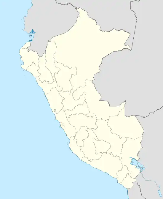 SPVI Location of the airport in Peru | |||||||||||
| Runways | |||||||||||
| |||||||||||
Vicco Airport (ICAO: SPVI) is a very high elevation airport serving the mining town of Vicco in the Pasco Region of Peru.
See also
References
- ↑ Airport information for Vicco Airport at Great Circle Mapper.
- ↑ Google Maps - Vicco
External links
- OpenStreetMap - Vicco
- OurAirports - Vicco
- SkyVector - Vicco
- Vicco Airport
- Accident history for Vicco Airport at Aviation Safety Network
This article is issued from Wikipedia. The text is licensed under Creative Commons - Attribution - Sharealike. Additional terms may apply for the media files.