| Veyre | |
|---|---|
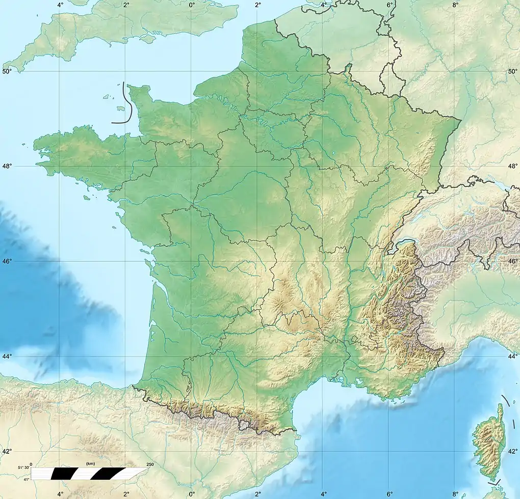
.JPG.webp) River at lac d'Aydat | |
  | |
| Location | |
| Country | France |
| Region | Auvergne-Rhône-Alpes |
| Physical characteristics | |
| Mouth | |
• location | Allier |
• coordinates | 45°41′17″N 3°12′07″E / 45.6881°N 3.2019°E |
| Length | 32.7 km (20.3 mi) |
| Basin features | |
| Progression | Allier→ Loire→ Atlantic Ocean |
The Veyre is a left-bank tributary of the river Allier in the French region of Auvergne-Rhône-Alpes.
Geography
The Veyre is 32.7 kilometres (20.3 mi) long.[1] It has no concrete source given that it originates at the plateau des Monts Dore, from the confluence of two streams : la Narse et le Labadeau which begins at the Puy de Vedrine. La Veyre has the particularity of having had its flow breached around 10,000 years ago by a lava flow of the Puy de la Vache and the Puy de Lassolas which formed a volcanic reservoir, the lac d'Aydat. Shortly after the lac d’Aydat, the Veyre then disappears underneath the volcanic heath of la cheire d’Aydat, then reappears downstream of Saint-Saturnin. At Veyre-Monton, between Tallende and Veyre, it is joined by the Monne. It flows into the Allier at Les Martres-de-Veyre.
References