Velsen-Zuid | |
|---|---|
Village | |
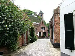 Historical street with church tower | |
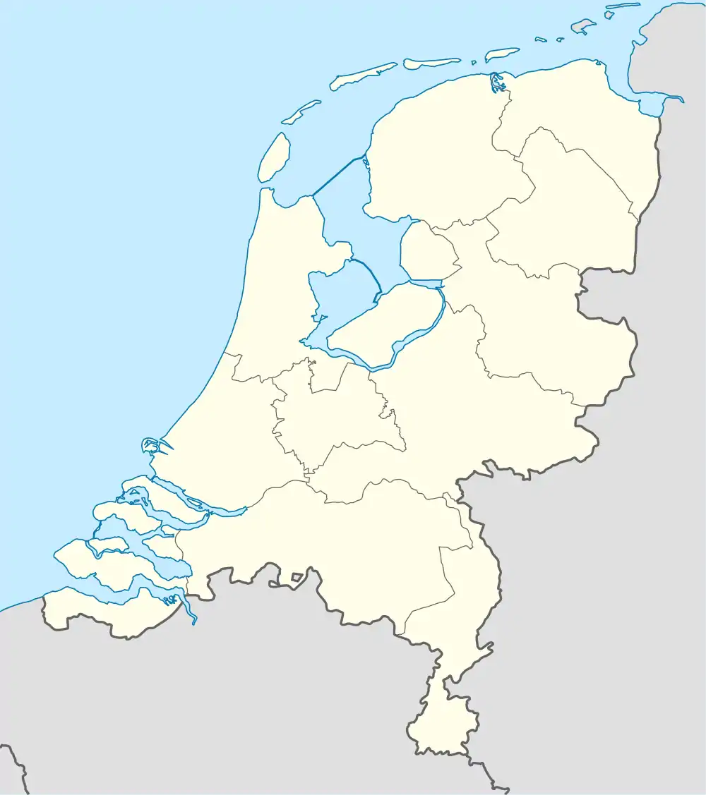 Velsen-Zuid Location in the Netherlands 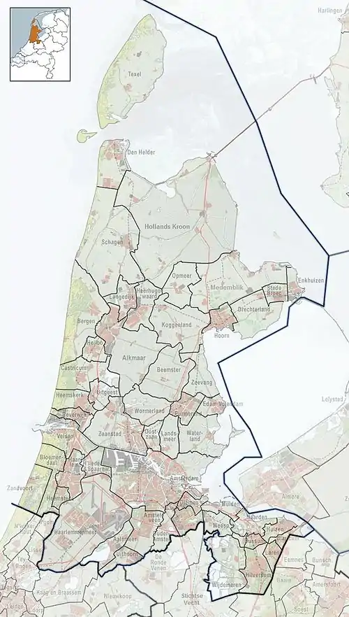 Velsen-Zuid Location in the province of North Holland in the Netherlands | |
| Coordinates: 52°27′36″N 4°39′1″E / 52.46000°N 4.65028°E | |
| Country | Netherlands |
| Province | North Holland |
| Municipality | Velsen |
| Area | |
| • Total | 2.28 km2 (0.88 sq mi) |
| Elevation | 1.7 m (5.6 ft) |
| Population (2021)[1] | |
| • Total | 3,910 |
| • Density | 1,700/km2 (4,400/sq mi) |
| Time zone | UTC+1 (CET) |
| • Summer (DST) | UTC+2 (CEST) |
| Postal code | 1981[1] |
| Dialing code | 0255 |
Velsen-Zuid (Dutch pronunciation: [ˌvɛlzə(n) ˈzœyt]) is a town in the Dutch province of North Holland. It is a part of the municipality of Velsen, and lies about 9 km north of Haarlem.
Velsen-Zuid developed around the church founded by Willibrord in the 8th century. Between 1865 and 1876, the North Sea Canal was dug and Velsen became two settlements.[3]
The home of Telstar, a team competing in the second tier of Dutch football, the Eerste Divisie, is located in Velsen-Zuid. Their stadium is known as the BUKO Stadion.[4]
References
- 1 2 3 "Kerncijfers wijken en buurten 2021". Central Bureau of Statistics. Retrieved 2 May 2022.
minus Driehuis
- ↑ "Postcodetool for 1981AA". Actueel Hoogtebestand Nederland (in Dutch). Het Waterschapshuis. Retrieved 2 May 2022.
- ↑ Ronald Stenvert & Saskia van Ginkel-Meester (2006). "Velsen" (in Dutch). Zwolle: Waanders. Retrieved 2 May 2022.
- ↑ Wesdijk, Sander; Smit, Lars (20 April 2021). "Sportpark Schoonenberg van Telstar: een stadion met karakter". In de Hekken (in Dutch). Archived from the original on 31 January 2023. Retrieved 10 June 2023.
External ilnk
 Media related to Velsen-Zuid at Wikimedia Commons
This article is issued from Wikipedia. The text is licensed under Creative Commons - Attribution - Sharealike. Additional terms may apply for the media files.