Vanwyksdorp | |
|---|---|
 Vanwyksdorp 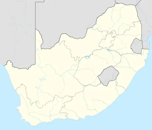 Vanwyksdorp | |
| Coordinates: 33°43′59″S 21°27′58″E / 33.733°S 21.466°E | |
| Country | South Africa |
| Province | Western Cape |
| District | Garden Route |
| Municipality | Kannaland |
| Area | |
| • Total | 21.25 km2 (8.20 sq mi) |
| Population (2011)[1] | |
| • Total | 833 |
| • Density | 39/km2 (100/sq mi) |
| Racial makeup (2011) | |
| • Black African | 1.9% |
| • Coloured | 84.9% |
| • Indian/Asian | 0.2% |
| • White | 13.0% |
| First languages (2011) | |
| • Afrikaans | 90.0% |
| • English | 4.9% |
| • Xhosa | 2.0% |
| • Other | 3.0% |
| Time zone | UTC+2 (SAST) |
| PO box | 6690 |
| Area code | 028 |
Vanwyksdorp is a town in Kannaland Local Municipality in the Western Cape province of South Africa. Village on the Groot River, some 55 km south-east of Ladismith and 66 km north-east of Riversdale.
History
It was founded as a parish of the Dutch Reformed Church on the farm Buffelsfontein in 1904 and named after the Van Wyk family.[2]
References
- 1 2 3 4 "Main Place Vanwyksdorp". Census 2011.
- ↑ "Dictionary of Southern African Place Names (Public Domain)". Human Science Research Council. p. 453.
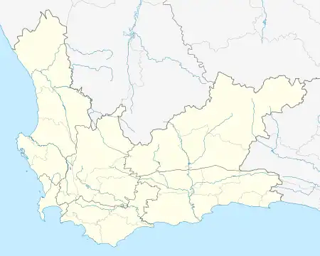
Municipalities and communities of Garden Route District Municipality, Western Cape | ||
|---|---|---|
District seat: George | ||
| Bitou | .svg.png.webp) Garden Route District within South Africa | |
| George | ||
| Hessequa | ||
| Kannaland | ||
| Knysna | ||
| Mossel Bay | ||
| Oudtshoorn | ||
This article is issued from Wikipedia. The text is licensed under Creative Commons - Attribution - Sharealike. Additional terms may apply for the media files.