| Upper Lyde | |
|---|---|
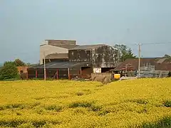 Upper Lyde Farm buildings viewed across a field of rapeseed | |
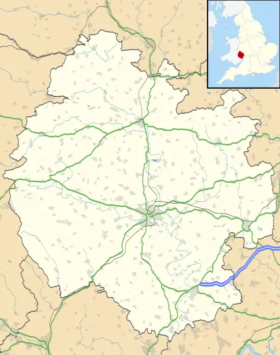 Upper Lyde Location within Herefordshire | |
| Civil parish | |
| Unitary authority | |
| Ceremonial county | |
| Region | |
| Country | England |
| Sovereign state | United Kingdom |
| Post town | Hereford |
| Postcode district | HR4 |
| Dialling code | 01432 |
| Police | West Mercia |
| Fire | Hereford and Worcester |
| Ambulance | West Midlands |
| UK Parliament | |
Upper Lyde is a small village in Herefordshire, England, around 4 miles (6 km) north of Hereford city centre. It forms part of the Pipe and Lyde civil parish.
Ruins of a timber castle can be found near the village [1] The village can be easily accessed from the A49 road.
References
This article is issued from Wikipedia. The text is licensed under Creative Commons - Attribution - Sharealike. Additional terms may apply for the media files.