| Upper Denford | |
|---|---|
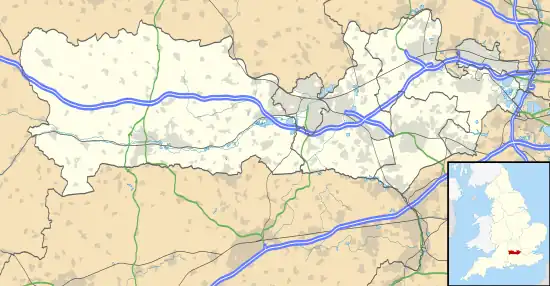 Upper Denford Location within Berkshire | |
| OS grid reference | SU355695 |
| Metropolitan borough | |
| Metropolitan county | |
| Region | |
| Country | England |
| Sovereign state | United Kingdom |
| Post town | HUNGERFORD |
| Postcode district | RG17 |
| Dialling code | 01488 |
| Police | Thames Valley |
| Fire | Royal Berkshire |
| Ambulance | South Central |
| UK Parliament | |
Upper Denford is a hamlet in Berkshire, England, and part of the civil parish of Kintbury.
The settlement lies north of the A4 road, and is located approximately 1.5 miles (2.4 km) north-east of Hungerford.
This article is issued from Wikipedia. The text is licensed under Creative Commons - Attribution - Sharealike. Additional terms may apply for the media files.