40°38′10″N 44°13′23″E / 40.63611°N 44.22306°E
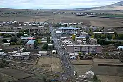
Tsaghkahovit
Ծաղկահովիտ | |
|---|---|
 | |
 Tsaghkahovit 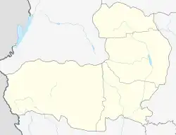 Tsaghkahovit | |
| Coordinates: 40°38′10″N 44°13′23″E / 40.63611°N 44.22306°E | |
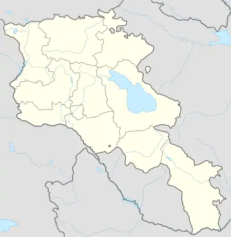
| Country | Armenia |
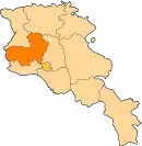
| Province | Aragatsotn |
| Municipality | Tsaghkahovit |
| Elevation | 2,011 m (6,598 ft) |
| Population (2011) | |
| • Total | 1,611 |
| Time zone | UTC+4 |
Tsaghkahovit (Armenian: Ծաղկահովիտ), known as Haji Khalil until 1946,[1] is a village in the Tsaghkahovit Municipality of the Aragatsotn Province of Armenia.
References
- ↑ Kiesling, Brady (June 2000). Rediscovering Armenia: An Archaeological/Touristic Gazetteer and Map Set for the Historical Monuments of Armenia (PDF). Archived (PDF) from the original on 6 November 2021.
- Tsaghkahovit at GEOnet Names Server
- World Gazetteer: Armenia – World-Gazetteer.com
- Report of the results of the 2001 Armenian Census, Statistical Committee of Armenia
- Kiesling, Rediscovering Armenia, p. 23, available online at the US embassy to Armenia's website
This article is issued from Wikipedia. The text is licensed under Creative Commons - Attribution - Sharealike. Additional terms may apply for the media files.