Trump, Maryland | |
|---|---|
 Trump, Maryland  Trump, Maryland | |
| Coordinates: 39°40′56″N 76°36′08″W / 39.68222°N 76.60222°W | |
| Country | |
| State | |
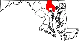
| County | |
| Elevation | 215 m (705 ft) |
| Time zone | UTC-5 (Eastern (EST)) |
| • Summer (DST) | UTC-4 (EDT) |
| Area code(s) | 410, 443, & 667 |
| GNIS feature ID | 593847[1] |
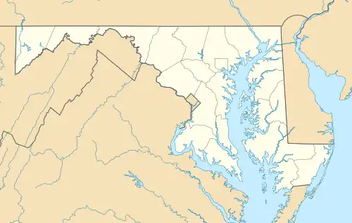
Trump is an unincorporated community in northern Baltimore County, Maryland, United States.[1][2] It was named after a nineteenth century settler named Simeon O. Van Trump, who ran a grocery store at Old York Road near West Liberty Road.[3]
Notes
This article is issued from Wikipedia. The text is licensed under Creative Commons - Attribution - Sharealike. Additional terms may apply for the media files.