| Totem Lake | |
|---|---|
| Lake Wittenmyer, Lake Watstine, Mudd Lake (historical) | |
 Totem lake as seen from a hill to its north | |
 Totem Lake Location in the United States 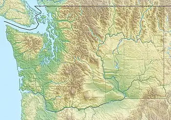 Totem Lake Location in Washington | |
| Location | Kirkland, Washington, U.S. |
| Coordinates | 47°42′39″N 122°10′34″W / 47.71083°N 122.17611°W |
| Type | Kettle lake |
| Primary outflows | Juanita Creek |
| Surface area | 2 acres (0.81 ha)[1] |
| Surface elevation | 131 feet (40 m) |
| References | coordinates and elevation from U.S. Geological Survey[2] |
Totem Lake is a two-acre (0.8 ha) lake in the northwest United States, located in Kirkland, Washington, a suburb east of Seattle, at the head of a branch of Juanita Creek, inside the Juanita Creek Basin.[3][4][5] A Kirkland neighborhood and retail/residential development are named for the lake.
A 17.2-acre (7.0 ha) park completely surrounds the lake, bordered by the Cross Kirkland Corridor linear park and trail.[6] The lake has had other names including Lake Wittenmyer, Lake Watstine, Mudd Lake, and an original Native American name which has been lost.[7]
References
- ↑ "Lakes of King County", Official website, King County
- ↑ U.S. Geological Survey Geographic Names Information System: Totem Lake
- ↑ Juanita Creek Watershed Map, City of Kirkland Public Works Department
- ↑ United States Geological Survey 1:24,000 topographic quad map "Kirkland, WA" 1976 ed.
- ↑ Melissa English; Doreen Gavin (February 26, 2015). "How to treat stormwater in urban areas — like Totem Lake". Daily Journal of Commerce. Portland, Oregon.
- ↑ "Totem Lake Park". City of Kirkland official website. Department of Parks and Community Services. Retrieved January 19, 2021.
- ↑ Phelps, Matt (January 12, 2011). "The history of Kirkland's Totem Lake Malls". Kirkland Reporter. Seattle – via Seattle Post-Intelligencer.
This article is issued from Wikipedia. The text is licensed under Creative Commons - Attribution - Sharealike. Additional terms may apply for the media files.