| The Branch | |
|---|---|
 The Branch | |
  | |
| Location | |
| Country | United States |
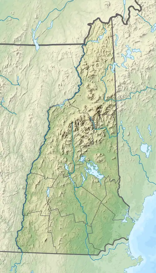
| State | New Hampshire |
| County | Cheshire |
| City | Keene |
| Physical characteristics | |
| Source | Confluence of Otter Brook and Minnewawa Brook |
| • location | Keene |
| • coordinates | 42°54′53″N 72°14′15″W / 42.91472°N 72.23750°W |
| • elevation | 558 ft (170 m) |
| Mouth | Ashuelot River |
• location | Keene |
• coordinates | 42°55′8″N 72°16′43″W / 42.91889°N 72.27861°W |
• elevation | 463 ft (141 m) |
| Length | 2.6 mi (4.2 km) |
| Basin features | |
| Tributaries | |
| • left | Beaver Brook |
The Branch is a 2.6-mile-long (4.2 km)[1] river located entirely in the city of Keene, in southwestern New Hampshire in the United States. It is a tributary of the Ashuelot River, itself a tributary of the Connecticut River, which flows to Long Island Sound.
While itself a very short river, The Branch is formed by the confluence of the much-longer Otter Brook and Minnewawa Brook and was sometimes considered in the past to be part of Otter Brook. A 1982 decision by the federal Board on Geographic Names established the name "The Branch". Variant names cited by the Board include "Branch of Ashuelot", "Otter Branch", and "Otter Brook".[2]
The Branch is paralleled for its entire length by New Hampshire Route 101.
See also
References
This article is issued from Wikipedia. The text is licensed under Creative Commons - Attribution - Sharealike. Additional terms may apply for the media files.