Thandaung Gyi
သံတောင်ကြီးမြို့ သါတီကၠံၤတ၀ီ | |
|---|---|
Town | |
_-_panoramio_(7).jpg.webp) | |
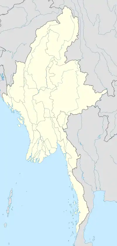 Thandaung Gyi Location in Myanmar (Burma) | |
| Coordinates: 19°04′24.2″N 96°40′31.69″E / 19.073389°N 96.6754694°E | |
| Country | |
| State | |
| District | Hpa-an District |
| Township | Thandaunggyi Township |
| Population (2014) | 16,056[1] |
| • Religions | Christian |
| Time zone | UTC+6.30 (MMT) |
Thandaung Gyi (Phlone ဍုံသင်တင်ဍောဟ်; Burmese: သံတောင်ကြီးမြို့; S'gaw Karen: သါတီကၠံၤတ၀ီ) is a town in Kayin State, Myanmar. It is the capital of Thandaunggyi Township.
References
- ↑ Census Report. The 2014 Myanmar Population and Housing Census. Vol. 2. Naypyidaw: Ministry of Immigration and Population. May 2015. p. 51.
External links
Capital: Hpa-an | ||
| Hpa-an District |  | |
| Hpapun District | ||
| Kawkareik District | ||
| Myawaddy District | ||
| Cities and towns | ||
This article is issued from Wikipedia. The text is licensed under Creative Commons - Attribution - Sharealike. Additional terms may apply for the media files.