Kamamaung
ကမမောင်း | |
|---|---|
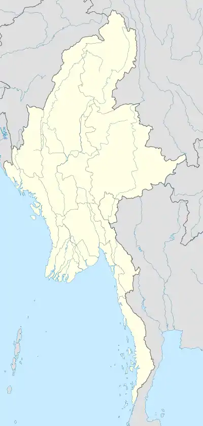 Kamamaung Location within Myanmar (Burma) | |
| Coordinates: 17°20′49″N 97°39′10″E / 17.34694°N 97.65278°E | |
| Country | |
| State | |
| District | Hpapun District |
| Township | Hpapun Township |
| Population (2014) | 20,895[1] |
| Time zone | UTC+6:30 (MMT) |
Kamamaung (Burmese: ကမမောင်းမြို့) is a town in Hpapun District, Kayin State of Myanmar.[2] According to 2014 Myanmar Census, the total population in Kamamaung is 20,895.[1]
References
- 1 2 Census Report. The 2014 Myanmar Population and Housing Census. Vol. 2. Naypyidaw: Ministry of Immigration and Population. May 2015. p. 51.
- ↑ "Township Map of Thandaunggyi" (PDF). Myanmar Information Management Unit. 3 May 2016. Retrieved 10 March 2018.
Capital: Hpa-an | ||
| Hpa-an District |  | |
| Hpapun District | ||
| Kawkareik District | ||
| Myawaddy District | ||
| Cities and towns | ||
This article is issued from Wikipedia. The text is licensed under Creative Commons - Attribution - Sharealike. Additional terms may apply for the media files.