| Taypi Qullu | |
|---|---|
 Taypi Qullu Location in Bolivia | |
| Highest point | |
| Elevation | 4,684 m (15,367 ft)[1] |
| Coordinates | 18°10′49″S 68°28′49″W / 18.18028°S 68.48028°W |
| Geography | |
| Location | Bolivia, Oruro Department, Sajama Province, Turco Municipality |
| Parent range | Andes |
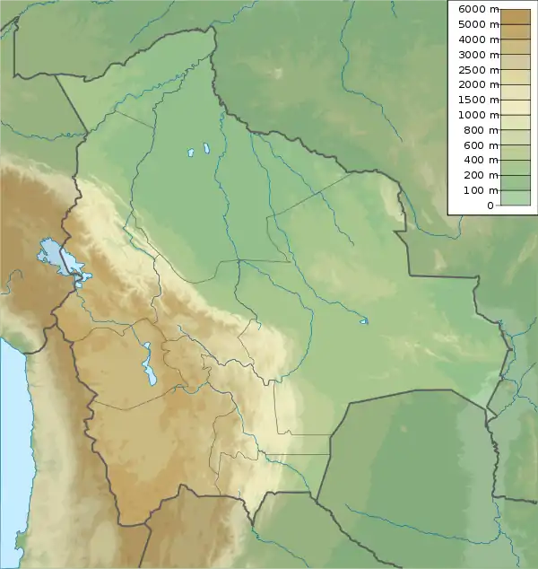
Taypi Qullu (Aymara taypi center, middle, qullu mountain,[2] "center mountain", also spelled Taypi Kkollu) is a 4,684-metre-high (15,367 ft) mountain in the Andes of Bolivia. It is located in the Oruro Department, Sajama Province, Turco Municipality, near Junt'u Uta. Taypi Qullu lies northeast of Asu Asuni.[1][3]
References
- 1 2 Bolivian IGM map 1:50,000 Estancia Antin Curahuara 5939-III
- ↑ Radio San Gabriel, "Instituto Radiofonico de Promoción Aymara" (IRPA) 1993, Republicado por Instituto de las Lenguas y Literaturas Andinas-Amazónicas (ILLLA-A) 2011, Transcripción del Vocabulario de la Lengua Aymara, P. Ludovico Bertonio 1612 (Spanish-Aymara-Aymara-Spanish dictionary)
- ↑ "Turco". Retrieved April 10, 2016.
Capital: Oruro | ||
| Provinces | 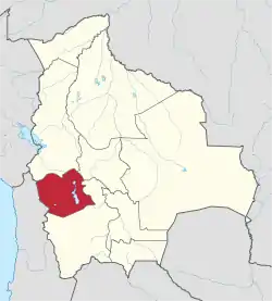 | |
| Municipalities (and seats) |
| |
This article is issued from Wikipedia. The text is licensed under Creative Commons - Attribution - Sharealike. Additional terms may apply for the media files.