Tawngbohla | |
|---|---|
Village | |
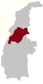
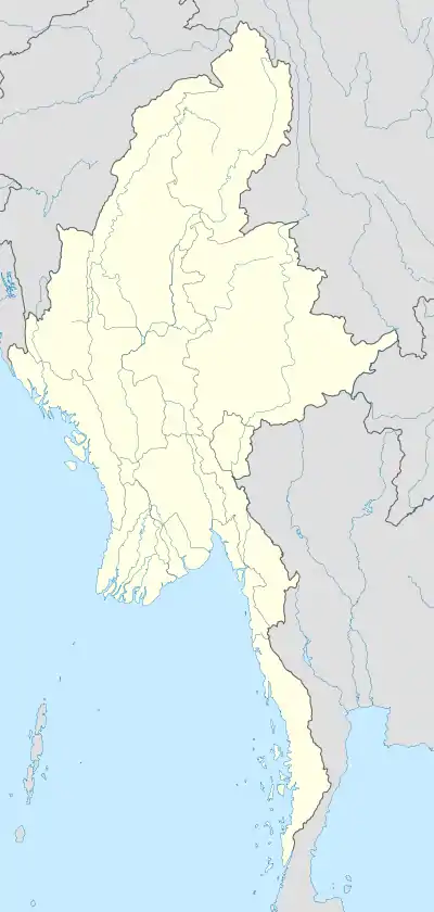 Tawngbohla Location in Burma | |
| Coordinates: 24°44′N 95°3′E / 24.733°N 95.050°E | |
| Country | |
| Region | Sagaing Region |
| District | Hkamti District |
| Township | Homalin Township |
| Time zone | UTC+6.30 (MST) |
Tawngbohla is a village in Homalin Township, Hkamti District, in the Sagaing Region of northwestern Burma. It is located east of Mongkun.[1][2]
References
- ↑ Google (29 May 2023). "Tawngbohla" (Map). Google Maps. Google. Retrieved 29 May 2023.
- ↑ Microsoft; Nokia (29 May 2023). "Tawngbohla" (Map). Bing Maps. Microsoft. Retrieved 29 May 2023.
External links
This article is issued from Wikipedia. The text is licensed under Creative Commons - Attribution - Sharealike. Additional terms may apply for the media files.