Taarlo | |
|---|---|
Village | |
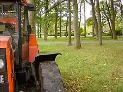 The brink of Taarlo | |
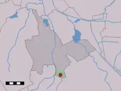 The village (dark red) and the statistical district (light green) of Taarlo in the municipality of Tynaarlo. | |
 Taarlo Location in the Netherlands 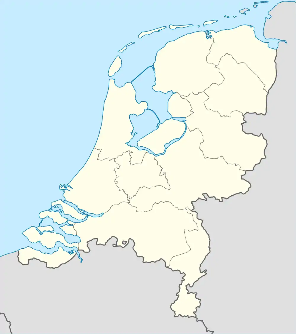 Taarlo Taarlo (Netherlands) | |
| Coordinates: 53°1′58″N 6°37′33″E / 53.03278°N 6.62583°E | |
| Country | Netherlands |
| Province | Drenthe |
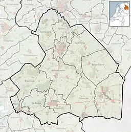
| Municipality | Tynaarlo |
| Area | |
| • Total | 5.05 km2 (1.95 sq mi) |
| Elevation | 8 m (26 ft) |
| Population (2021)[1] | |
| • Total | 110 |
| • Density | 22/km2 (56/sq mi) |
| Time zone | UTC+1 (CET) |
| • Summer (DST) | UTC+2 (CEST) |
| Postal code | 9485[1] |
| Dialing code | 0592 |
Taarlo is a village in the Dutch province of Drenthe. It is a part of the municipality of Tynaarlo, and lies about 5 km northeast of Assen.
The village was first mentioned in 820 as Arlo. The etymology is unclear.[3] Taarlo is an esdorp to the south of Tynaarlo. It has a triangular brink (village square) with a pond which was used as a water supply.[4]
Taarlo was home to 73 people in 1840.[5]
References
- 1 2 3 "Kerncijfers wijken en buurten 2021". Central Bureau of Statistics. Retrieved 12 April 2022.
two entries
- ↑ "Postcodetool for 9485TA". Actueel Hoogtebestand Nederland (in Dutch). Het Waterschapshuis. Retrieved 12 April 2022.
- ↑ "Taarlo - (geografische naam)". Etymologiebank (in Dutch). Retrieved 12 April 2022.
- ↑ Ronald Stenvert (2001). Tynaarlo (in Dutch). Zwolle: Waanders. ISBN 90 400 9454 3. Retrieved 12 April 2022.
- ↑ "Taarlo". Plaatsengids (in Dutch). Retrieved 12 April 2022.
Wikimedia Commons has media related to Taarlo.
This article is issued from Wikipedia. The text is licensed under Creative Commons - Attribution - Sharealike. Additional terms may apply for the media files.