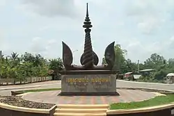
Svay Rieng municipality
ក្រុងស្វាយរៀង Krong Svay Rieng | |
|---|---|
 | |
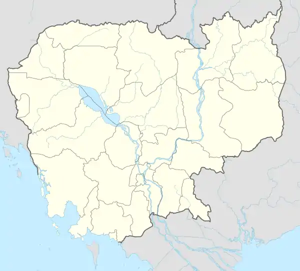 Svay Rieng municipality Location in Cambodia | |
| Coordinates: 11°10′N 105°40′E / 11.167°N 105.667°E | |
| Country | |
| Province | Svay Rieng |
| Quarters | 7 |
| Capital | Svay Rieng |
| Government | |
| • Type | City municipality |
| Elevation | 5 m (16.4 ft) |
| Population (2008)[1] | |
| • Total | 40,536 |
| Time zone | UTC+7 (ICT) |
| District Code | 2006 |
Svay Rieng municipality (Khmer: ក្រុងស្វាយរៀង) is a municipality located in Svay Rieng province, Cambodia. It surrounds the provincial capital city of Svay Rieng. According to the 1998 census of Cambodia, it had a population of 21,205.[2]
Administration
| No. | District code | Sangkat (quarters) | Phum (villages) |
|---|---|---|---|
| 1 | 2006-01 | Svay Rieng សង្កាត់ស្វាយរៀង |
|
| 2 | 2006-02 | Prey Chhlak សង្កាត់ព្រៃឆ្លាក់ |
|
| 3 | 2006-03 | Koy Trabaek សង្កាត់គយត្របែក |
|
| 4 | 2006-04 | Pou Ta Hao សង្កាត់ពោធិ៍តាហោ |
|
| 5 | 2006-05 | Chek សង្កាត់ចេក |
|
| 6 | 2006-06 | Svay Toeu សង្កាត់ស្វាយតឿ |
|
| 7 | 2006-07 | Sangkhoar សង្កាត់សង្ឃ័រ |
References
- ↑ “Economic Census of Cambodia 2011 Provincial Report 20 Svay Rieng Province”
- ↑ "General Population Census of Cambodia 1998, Final Census Results" (PDF). National Institute of Statistics, Ministry of Planning, Cambodia. August 2002. Retrieved 2010-11-25. See page 256.
| Districts | 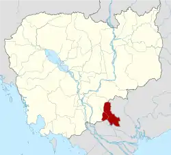 | |
|---|---|---|
| Autonomous municipality |
| ||
|---|---|---|---|
| Provinces | |||
11°10′N 105°40′E / 11.167°N 105.667°E
This article is issued from Wikipedia. The text is licensed under Creative Commons - Attribution - Sharealike. Additional terms may apply for the media files.