| Superstition Hills | |
|---|---|
.jpg.webp) 1900 photograph | |
| Highest point | |
| Elevation | 141 ft (43 m) |
| Geography | |
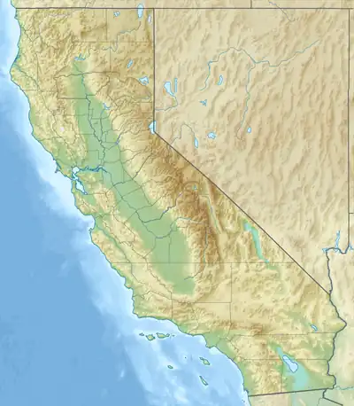 Location of the Superstition Hills in California[1] | |
| Country | United States |
| State | California |
| Region | Colorado Desert |
| District | Imperial County |
| Range coordinates | 33°1′15.179″N 115°48′47.005″W / 33.02088306°N 115.81305694°W |
| Topo map | USGS Kane Spring |
The Superstition Hills are a low mountain range in the Colorado Desert, in western Imperial County, southern California.[1]
They are located southwest of the Salton Sea, in the Lower Colorado River Valley.
See also
References
This article is issued from Wikipedia. The text is licensed under Creative Commons - Attribution - Sharealike. Additional terms may apply for the media files.