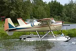
Sudbury/Azilda Water Aerodrome | |||||||||||
|---|---|---|---|---|---|---|---|---|---|---|---|
 | |||||||||||
| Summary | |||||||||||
| Airport type | Public | ||||||||||
| Operator | Sudbury Aviation Ltd. | ||||||||||
| Location | Greater Sudbury, Ontario | ||||||||||
| Time zone | EST (UTC−05:00) | ||||||||||
| • Summer (DST) | EDT (UTC−04:00) | ||||||||||
| Elevation AMSL | 869 ft / 265 m | ||||||||||
| Coordinates | 46°32′N 081°08′W / 46.533°N 81.133°W | ||||||||||
| Map | |||||||||||
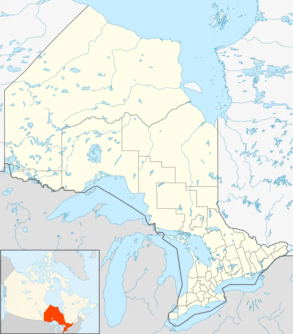 CNC5 Location in Ontario | |||||||||||
| Runways | |||||||||||
| |||||||||||
Source: Water Aerodrome Supplement[1] | |||||||||||
Sudbury/Azilda Water Aerodrome (TC LID: CNC5) is located in Sudbury, Ontario, Canada, 5 nautical miles (9.3 km; 5.8 mi) northwest of downtown on the shore of Whitewater Lake, near the community of Azilda.
The UNICOM 122.8 is operated by Sudbury Aviation.
See also
References
- ↑ Nav Canada's Water Aerodrome Supplement. Effective 0901Z 26 March 2020 to 0901Z 22 April 2021.
External links
![]() Media related to Sudbury/Azilda Water Aerodrome at Wikimedia Commons
Media related to Sudbury/Azilda Water Aerodrome at Wikimedia Commons
| By name | |
|---|---|
| By location indicator | |
| By province/territory | |
| By area | |
| National Airports System | |
| Related | |
| |
This article is issued from Wikipedia. The text is licensed under Creative Commons - Attribution - Sharealike. Additional terms may apply for the media files.