Storenes | |
|---|---|
Neighborhood in Kristiansand | |
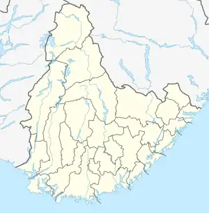 Storenes Location of the neighborhood 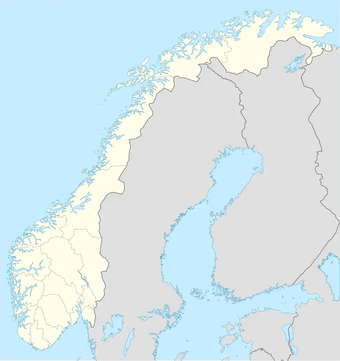 Storenes Storenes (Norway) | |
| Coordinates: 58°07′06″N 7°57′45″E / 58.1183°N 07.9626°E | |
| Country | Norway |
| County | Agder |
| Municipality | Kristiansand |
| Borough | Vågsbygd |
| District | Vågsbygd |
| Time zone | UTC+01:00 (CET) |
| • Summer (DST) | UTC+02:00 (CEST) |
| Postal code | 4622 |
| Area code | 38 |
Storenes is a neighbourhood in the city of Kristiansand in Agder county, Norway. It is located in the borough of Vågsbygd and in the district of Vågsbygd.[1] The neighborhood is located along the Kristiansandsfjorden, southeast of Augland.
Transportation
| Road | Stretch |
|---|---|
| Fv456 | Hannevika - Søgne |
| Line | Destinations |
|---|---|
| M1 | Flekkerøy - Sørlandsparken Dyreparken - IKEA |
| M1 | Flekkerøy - Kvadraturen |
| M2 | Voiebyen - Hånes |
| M2 | Voiebyen - Hånes - Lauvåsen |
| M2 | Voiebyen - Hånes / Kjevik - Tveit |
| M2 | Voiebyen - Kvadraturen |
| 05 | Andøya - Vågsbygd sentrum |
| 05 | Andøya - Kvadraturen - UiA |
| 09 | Bråvann - Vågsbygd sentrum |
| 09 | Bråvann - Kvadraturen - UiA |
| 50 | Søgne - Kristiansand |
| D2 | Voiebyen - Kvadraturen - UiA |
References
- ↑ "Kristiansand kommune - Start". www.kristiansand.kommune.no. Retrieved 2015-10-10.
- ↑ "Informasjon om veg og trafikk". www.vegvesen.no. Statens vegvesen. Retrieved 2015-10-10.
- ↑ "Hjem / Agder Kollektivtrafikk". www.akt.no. Retrieved 2015-10-10.
This article is issued from Wikipedia. The text is licensed under Creative Commons - Attribution - Sharealike. Additional terms may apply for the media files.