Stephenson, Virginia | |
|---|---|
 Stephenson  Stephenson | |
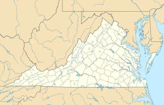
| Coordinates: 39°14′14″N 78°6′23″W / 39.23722°N 78.10639°W | |
| Country | United States |
| State | Virginia |
| County | Frederick |
| Elevation | 554 ft (169 m) |
| Time zone | UTC−5 (Eastern (EST)) |
| • Summer (DST) | UTC−4 (EDT) |
| ZIP code | 22656[1] |
| Area code | 540 |
| GNIS feature ID | 1740338[2] |
Stephenson is an unincorporated community in Frederick County, Virginia. Stephenson is located on U.S. Route 11 north of Winchester.
High Banks, a historic home and farm dating from the mid-18th century, was listed on the National Register of Historic Places in 2011.[3]
References
- ↑ "Stephenson ZIP Code". zipdatamaps.com. 2022. Retrieved November 11, 2022.
- ↑ U.S. Geological Survey Geographic Names Information System: Stephenson, Virginia
- ↑ "National Register of Historic Places Listings". Weekly List of Actions Taken on Properties: 2/28/11 through 3/04/11. National Park Service. March 11, 2011.
Wikimedia Commons has media related to Stephenson, Virginia.
Municipalities and communities of Frederick County, Virginia, United States | ||
|---|---|---|
| Towns | 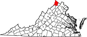 Map of Virginia highlighting Frederick County | |
| CDPs | ||
| Other communities |
| |
This article is issued from Wikipedia. The text is licensed under Creative Commons - Attribution - Sharealike. Additional terms may apply for the media files.