Somogysámson | |
|---|---|
Village | |
.jpg.webp) Urunk Mennybemenetele-templom (English: Ascension of Jesus Christ Church) in Somogysámson | |
 Coat of arms | |
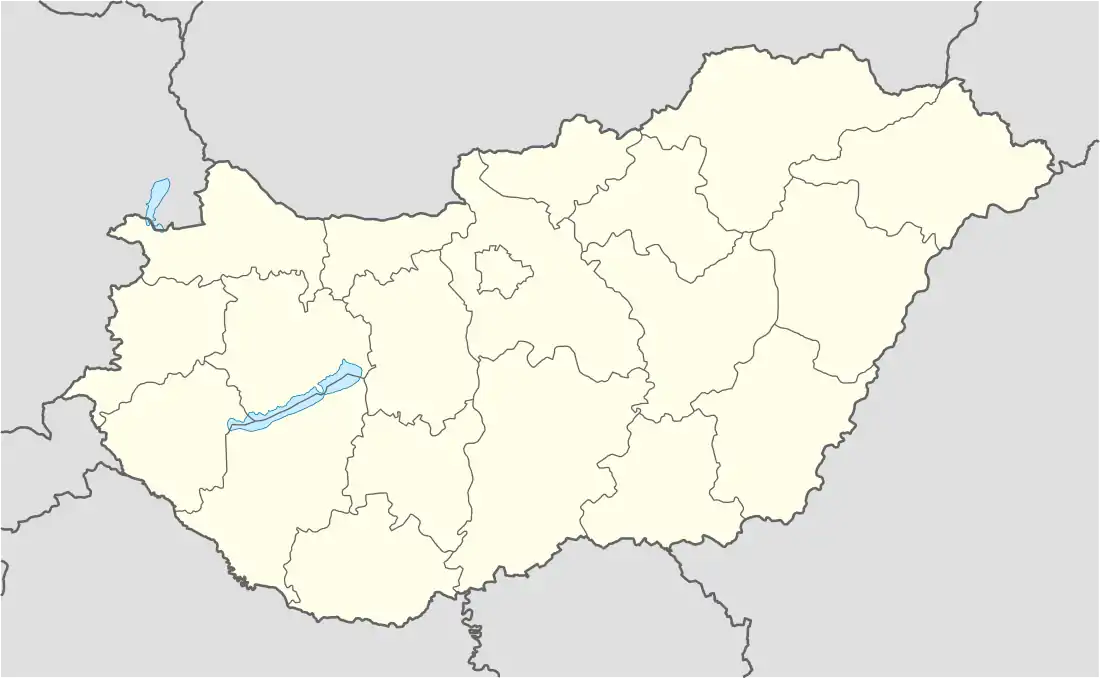 Somogysámson Location of Somogysámson | |
| Coordinates: 46°35′26″N 17°17′49″E / 46.59044°N 17.29701°E | |
| Country | |
| Region | Southern Transdanubia |
| County | Somogy |
| District | Marcali |
| RC Diocese | Kaposvár |
| Area | |
| • Total | 22.83 km2 (8.81 sq mi) |
| Population (2017) | |
| • Total | 712[1] |
| Demonym(s) | sámsoni, somogysámsoni |
| Time zone | UTC+1 (CET) |
| • Summer (DST) | UTC+2 (CEST) |
| Postal code | 8733 |
| Area code | (+36) 85 |
| Motorways | M7 |
| Distance from Budapest | 181 km (112 mi) Northeast |
| NUTS 3 code | HU232 |
| MP | József Attila Móring (KDNP) |
| Website | Somogysámson Online |
Somogysámson is a village in Somogy county, Hungary.
The settlement is part of the Balatonboglár wine region.[2]
External links
References

This article is issued from Wikipedia. The text is licensed under Creative Commons - Attribution - Sharealike. Additional terms may apply for the media files.