| Silver Run Tributary to Delaware Bay | |
|---|---|
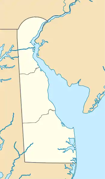 Location of Silver Run mouth  Silver Run (Delaware Bay tributary) (the United States) | |
| Location | |
| Country | United States |
| State | Delaware |
| County | New Castle |
| Physical characteristics | |
| Source | divide between Silver Run and Drawyers Creek |
| • location | McDonough, Delaware[1] |
| • coordinates | 39°29′35″N 075°38′55″W / 39.49306°N 75.64861°W[2] |
| • elevation | 20 ft (6.1 m)[1] |
| Mouth | Delaware Bay |
• location | Bay View Beach, Delaware[1] |
• coordinates | 39°28′43″N 075°35′32″W / 39.47861°N 75.59222°W[2] |
• elevation | 0 ft (0 m)[1] |
| Length | 3.03 mi (4.88 km)[3] |
| Basin size | 3.13 square miles (8.1 km2)[4] |
| Discharge | |
| • location | Delaware Bay |
| • average | 3.55 cu ft/s (0.101 m3/s) at mouth with Delaware Bay[4] |
| Basin features | |
| Progression | southeast |
| River system | Delaware Bay |
| Tributaries | |
| • left | unnamed tributaries |
| • right | unnamed tributaries |
Silver Run is a 3.03 mi (4.88 km) long tributary to Delaware Bay in New Castle County, Delaware. Silver Run is tidal for most of its course and drains a large part of Augustine Wildlife Area.
See also
References
- 1 2 3 4 "Silver Run Wildlife Area Topo Map, New Castle County DE (Taylors Bridge Area)". TopoZone. Locality, LLC. Retrieved 31 July 2019.
- 1 2 "GNIS Detail - Silver Run". geonames.usgs.gov. US Geological Survey. Retrieved 31 July 2019.
- ↑ "ArcGIS Web Application". epa.maps.arcgis.com. US EPA. Retrieved 31 July 2019.
- 1 2 "Silver Run Watershed Report". Waters Geoviewer. US EPA. Retrieved 31 July 2019.
External links
Dover (capital) | |
| Topics |
|
| Society |
|
| Cities | |
| Towns |
|
| Counties | |
This article is issued from Wikipedia. The text is licensed under Creative Commons - Attribution - Sharealike. Additional terms may apply for the media files.