| Signal Mountain | |
|---|---|
 | |
| Highest point | |
| Elevation | 2,255 m (7,398 ft)[1] |
| Prominence | 92 m (302 ft)[2] |
| Listing | Mountains of Alberta |
| Coordinates | 52°51′53″N 117°58′44″W / 52.86472°N 117.97889°W[3] |
| Geography | |
 Signal Mountain Location in Alberta | |
| Country | Canada |
| Province | Alberta |
| Protected area | Jasper National Park |
| Parent range | Maligne Range |
| Topo map | NTS 83C13 Medicine Lake[3] |
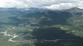
Signal Mountain was named in 1916 by Morrison P. Bridgland. It is located in the Maligne Range in Alberta.[2]
See also
References
- ↑ "Signal Mountain". cdnrockiesdatabases.ca. Retrieved 2023-08-04.
- 1 2 "Signal Mountain". Bivouac.com. Retrieved 2023-08-04.
- 1 2 "Signal Mountain". Geographical Names Data Base. Natural Resources Canada. Retrieved 2023-08-04.
This article is issued from Wikipedia. The text is licensed under Creative Commons - Attribution - Sharealike. Additional terms may apply for the media files.