Sibaya | |
|---|---|
Hamlet | |
.jpg.webp) Church of Sibaya | |
|
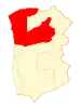 Map of the commune of Huara in Tarapacá Region 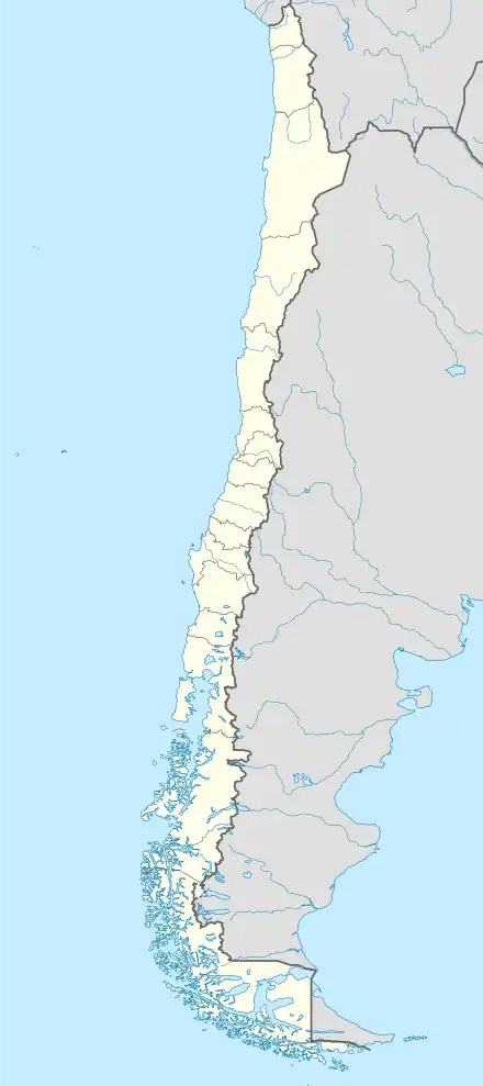 Sibaya Location in Chile | |
| Coordinates: 19°46′58″S 69°10′22″W / 19.78278°S 69.17278°W | |
| Country | Chile |
| Region | Tarapacá |
| Province | Tamarugal |
| Commune | Huara |
| Government | |
| • Type | Municipal council |
| Elevation | 2,840 m (9,320 ft) |
| Population (2017 Census)[1] | |
| • Total | 46 |
| Sex | |
| • Men | 24 |
| • Women | 22 |
| Time zone | UTC-4 (CLT[2]) |
| • Summer (DST) | UTC-3 (CLST[3]) |
| Area code | (+56) 5 |
Sibaya is a hamlet in the Altiplano of northern Chile. As of 2017 Sibaya had 46 inhabitants and 123 homes.[1] It has an irrigation system based on underground aqueducts tapping an aquifer.[4]
The hamlet was badly hit by the 2005 Tarapacá earthquake. The Church of Sibaya is listed as a National Monument within the category of Historical Monument since January 27, 2009. After its reconstruction the church was reopened on September 5, 2015.[5]
References
- 1 2 3 "Ciudades, pueblos, aldeas y caceríos 2019" (PDF) (in Spanish). National Statistics Institute. 2019. Retrieved November 1, 2020.
- ↑ "Chile Time". WorldTimeZones.org. Archived from the original on 11 September 2007. Retrieved 9 September 2010.
- ↑ "Chile Summer Time". WorldTimeZones.org. Archived from the original on 11 September 2007. Retrieved 9 September 2010.
- ↑ Lictevout, Elizabeth; Abellanosa, Carlos; Maass, Constanza; Pérez, Nicolás; Gonzalo, Yáñez; Véronique, Leonardi Véronique (2020). "Exploration, mapping and characterization of filtration galleries of the Pica Oasis, northern Chile: A contribution to the knowledge of the Pica aquifer". Andean Geology. 47 (3): 529–558. doi:10.5027/andgeoV47n3-3272.
- ↑ http://www.bienesnacionales.cl/?p=19123
This article is issued from Wikipedia. The text is licensed under Creative Commons - Attribution - Sharealike. Additional terms may apply for the media files.