Shoemaker Point, Wisconsin | |
|---|---|
.png.webp) S. Bay Shore Road runs along Green Bay, forming a T intersection with Shoemaker Road | |
 Shoemaker Point  Shoemaker Point | |
| Coordinates: 44°43′14″N 87°43′14″W / 44.72056°N 87.72056°W | |
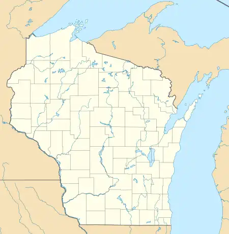
| Country | |
| State | |
| County | Door |
| Town | Union |
| Elevation | 180 m (591 ft) |
| Time zone | UTC-6 (Central (CST)) |
| • Summer (DST) | UTC-5 (CDT) |
| Area code | 920 |
| GNIS feature ID | 1574066[1] |
Shoemaker Point is an unincorporated community located in the town of Union, Door County, Wisconsin, United States. Shoemaker Point is located on Green Bay 18.5 miles (29.8 km) west-southwest of Sturgeon Bay. Named Shoemaker's point after Frank Renard who was a cobbler by trade.[2]
From space
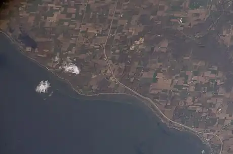
Taken a little after 3 o'clock in the afternoon CDT on October 31, 2007 from the International Space Station. Shoemaker Point is just to the right of the clouds.
References
- ↑ U.S. Geological Survey Geographic Names Information System: Shoemaker Point, Wisconsin
- ↑ Obituary of Frank Renard, Green Bay Press Gazette, Jun 27 1899
Municipalities and communities of Door County, Wisconsin, United States | ||
|---|---|---|
| City |  Towns in 1915; the borders remain the same today except for annexations by the City of Sturgeon Bay and the four villages. | |
| Villages | ||
| Towns | ||
| CDPs | ||
| Other communities | ||
| Footnote | ‡Partially located in Kewaunee County | |
This article is issued from Wikipedia. The text is licensed under Creative Commons - Attribution - Sharealike. Additional terms may apply for the media files.