 Sheer Islands  Sheer Islands | |
| Geography | |
|---|---|
| Location | Hudson Strait |
| Coordinates | 62°42′N 69°35′W / 62.70°N 69.58°W |
| Archipelago | Arctic Archipelago |
| Administration | |
Canada | |
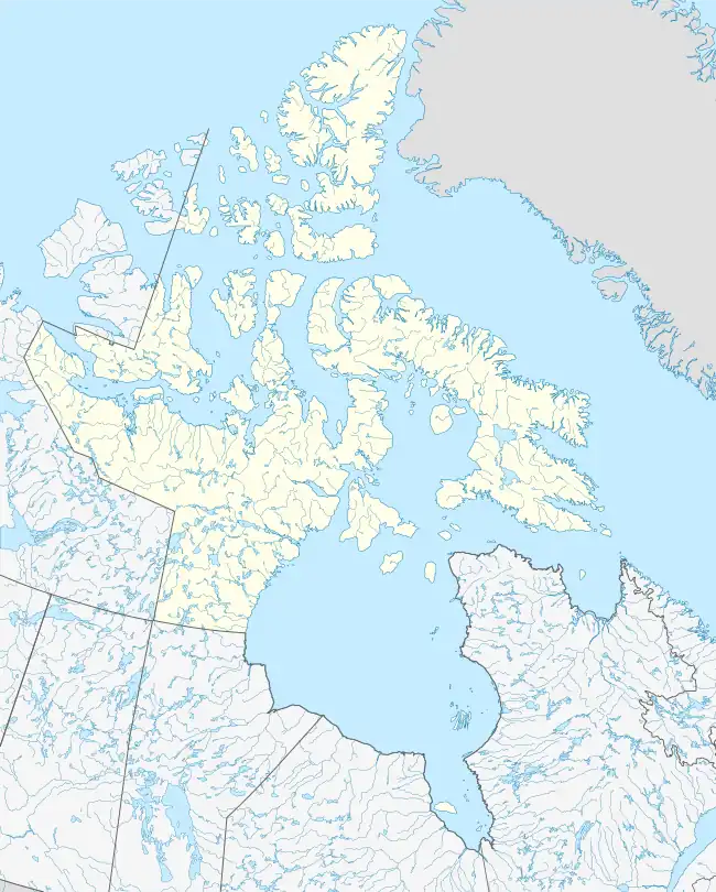
| Territory | Nunavut |
| Region | Qikiqtaaluk |
| Demographics | |
| Population | Uninhabited |
The Sheer Islands are Canadian arctic islands that are located in Qikiqtaaluk Region, Nunavut, Canada. They are a Baffin Island offshore island group in Hudson Strait. The islands are situated approximately 1 mi (1.6 km) north of Cape Tanfield and form part of the north side of Itivirk Bay.
The group consists of:[1]
- Forder Island, at the northern entrance to Itivirk Bay
- Lee Island, northeast of Forder Island and joined to it at low tide
- Lavoie Island, in the northeast
- Wishart Island, in the northeast.
Kimmirut, Nunavut, an Inuit hamlet, is about 23.2 mi (37.3 km) to the northwest.[2]
References
- ↑ "Sector 13 Hudson Strait" (PDF). pollux.nss.nima.mil. p. 14. Archived from the original (PDF) on October 24, 2004. Retrieved 2009-02-16.
- ↑ "Sheer Islands, Nunavut, Canada". travelingluck.com. Retrieved 2009-02-17.
This article is issued from Wikipedia. The text is licensed under Creative Commons - Attribution - Sharealike. Additional terms may apply for the media files.