| Sentinel Peak | |
|---|---|
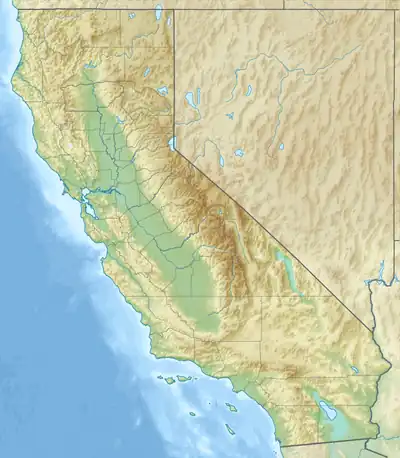 Sentinel Peak Location in California  Sentinel Peak Sentinel Peak (the United States) | |
| Highest point | |
| Elevation | 9,634 ft (2,936 m) NAVD 88[1] |
| Prominence | 1,554 ft (474 m) |
| Coordinates | 36°05′48″N 117°04′40″W / 36.096666°N 117.077657°W[1] |
| Geography | |
| Location | Death Valley National Park, Inyo County, California, U.S. |
| Parent range | Panamint Range |
| Topo map | USGS Sentinel Peak |
| Climbing | |
| Easiest route | Trail hike |
Sentinel Peak is located in Death Valley National Park near Panamint City, California.
References
- 1 2 "Sentinel Peak, California". Peakbagger.com. Retrieved October 9, 2017.
This article is issued from Wikipedia. The text is licensed under Creative Commons - Attribution - Sharealike. Additional terms may apply for the media files.