Savennes | |
|---|---|
Location of Savennes | |
 Savennes 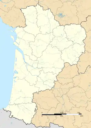 Savennes | |
| Coordinates: 46°06′23″N 1°53′20″E / 46.1064°N 1.8889°E | |
| Country | France |
| Region | Nouvelle-Aquitaine |
| Department | Creuse |
| Arrondissement | Guéret |
| Canton | Guéret-1 |
| Intercommunality | CA Grand Guéret |
| Government | |
| • Mayor (2020–2026) | Philippe Ponsard[1] |
| Area 1 | 6.93 km2 (2.68 sq mi) |
| Population | 210 |
| • Density | 30/km2 (78/sq mi) |
| Time zone | UTC+01:00 (CET) |
| • Summer (DST) | UTC+02:00 (CEST) |
| INSEE/Postal code | 23170 /23000 |
| Elevation | 497–664 m (1,631–2,178 ft) (avg. 500 m or 1,600 ft) |
| 1 French Land Register data, which excludes lakes, ponds, glaciers > 1 km2 (0.386 sq mi or 247 acres) and river estuaries. | |
Savennes (French pronunciation: [savɛn]; Occitan: Savenas) is a commune in the Creuse department in the Nouvelle-Aquitaine region in central France.
Geography
An area of streams, lakes, forestry and farming, comprising the village and two hamlets situated some 5 miles (8.0 km) south of Guéret, at the junction of the D33 and the D52 roads.
Population
| Year | Pop. | ±% |
|---|---|---|
| 1962 | 125 | — |
| 1968 | 151 | +20.8% |
| 1975 | 103 | −31.8% |
| 1982 | 176 | +70.9% |
| 1990 | 225 | +27.8% |
| 1999 | 212 | −5.8% |
| 2008 | 218 | +2.8% |
Sights
- A twentieth-century chapel.
- A restored public washhouse.
See also
References
- ↑ "Répertoire national des élus: les maires" (in French). data.gouv.fr, Plateforme ouverte des données publiques françaises. 13 September 2022.
- ↑ "Populations légales 2021". The National Institute of Statistics and Economic Studies. 28 December 2023.
External links
Wikimedia Commons has media related to Savennes (Creuse).
- Savennes on the Quid website (in French)
This article is issued from Wikipedia. The text is licensed under Creative Commons - Attribution - Sharealike. Additional terms may apply for the media files.