Sainte-Tulle | |
|---|---|
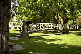 Petrified bridge | |
 Coat of arms | |
Location of Sainte-Tulle | |
 Sainte-Tulle 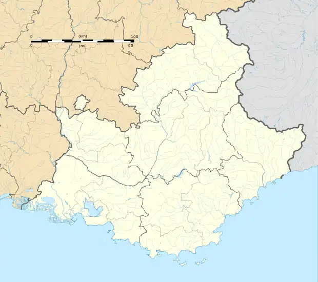 Sainte-Tulle | |
| Coordinates: 43°47′12″N 5°45′57″E / 43.7867°N 5.7658°E | |
| Country | France |
| Region | Provence-Alpes-Côte d'Azur |
| Department | Alpes-de-Haute-Provence |
| Arrondissement | Forcalquier |
| Canton | Manosque-3 |
| Intercommunality | Durance-Luberon-Verdon Agglomération |
| Government | |
| • Mayor (2020–2026) | Jean-Luc Queiras[1] |
| Area 1 | 17.07 km2 (6.59 sq mi) |
| Population | 3,489 |
| • Density | 200/km2 (530/sq mi) |
| Time zone | UTC+01:00 (CET) |
| • Summer (DST) | UTC+02:00 (CEST) |
| INSEE/Postal code | 04197 /04220 |
| Elevation | 269–521 m (883–1,709 ft) (avg. 299 m or 981 ft) |
| 1 French Land Register data, which excludes lakes, ponds, glaciers > 1 km2 (0.386 sq mi or 247 acres) and river estuaries. | |
Sainte-Tulle (French pronunciation: [sɛ̃t tyl]; Occitan: Santa Túllia) is a commune in the Alpes-de-Haute-Provence department in southeastern France.
Population
|
| ||||||||||||||||||||||||||||||||||||||||||||||||||||||||||||||||||||||||||||||||||||||||||||||||||||||||||||||||||
| Source: EHESS[3] and INSEE (1968-2017)[4] | |||||||||||||||||||||||||||||||||||||||||||||||||||||||||||||||||||||||||||||||||||||||||||||||||||||||||||||||||||
See also
References
- ↑ "Répertoire national des élus: les maires". data.gouv.fr, Plateforme ouverte des données publiques françaises (in French). 2 December 2020.
- ↑ "Populations légales 2021". The National Institute of Statistics and Economic Studies. 28 December 2023.
- ↑ Des villages de Cassini aux communes d'aujourd'hui: Commune data sheet Sainte-Tulle, EHESS (in French).
- ↑ Population en historique depuis 1968, INSEE
Wikimedia Commons has media related to Sainte-Tulle.
This article is issued from Wikipedia. The text is licensed under Creative Commons - Attribution - Sharealike. Additional terms may apply for the media files.