| Ruotsalainen | |
|---|---|
 | |
 Ruotsalainen | |
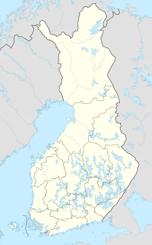
| Coordinates | 61°14′N 25°56′E / 61.233°N 25.933°E |
| Lake type | Natural |
| Catchment area | Kymijoki |
| Basin countries | Finland |
| Surface area | 74.127 km2 (28.621 sq mi) |
| Average depth | 9.87 m (32.4 ft) |
| Max. depth | 56.43 m (185.1 ft) |
| Water volume | 0.732 km3 (0.176 cu mi) |
| Shore length1 | 350.71 km (217.92 mi) |
| Surface elevation | 77.5 m (254 ft) |
| Frozen | December-April |
| Islands | Iso Pirttisaari, Hopeasaari |
| Settlements | Heinola |
| References | [1] |
| 1 Shore length is not a well-defined measure. | |
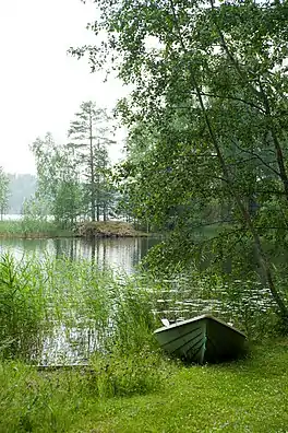
Ruotsalainen is a medium-sized lake of Finland in the Kymijoki main catchment area. it is located in Päijät-Häme, near the town Heinola. There is a waterway crossing the town and connecting the lake to another lake Konnivesi.[1]
See also
References
- 1 2 Ruotsalainen in the Jarviwiki Web Service. Retrieved 2014-03-02. (in English)
This article is issued from Wikipedia. The text is licensed under Creative Commons - Attribution - Sharealike. Additional terms may apply for the media files.