Ruhango | |
|---|---|
Sector and town | |
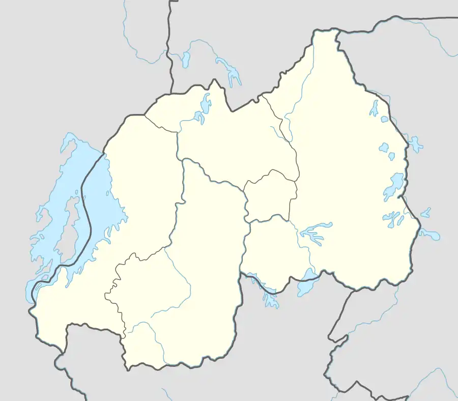 Ruhango Location in Rwanda | |
| Coordinates: 2°13′57″S 29°46′49″E / 2.23250°S 29.78028°E | |
| Country | |
| Province | Southern Province |
| District | Ruhango |
| Area | |
| • Sector and town | 94.51 km2 (36.49 sq mi) |
| Elevation | 1,686 m (5,531 ft) |
| Population (2022 census)[2] | |
| • Sector and town | 75,608 |
| • Density | 800/km2 (2,100/sq mi) |
| • Urban | 17,051 |
| (2012 census) | |
| Time zone | UTC+2 (CAT) |
| • Summer (DST) | UTC+2 (not observed) |
Ruhango is a sector and town in Southern Province, Rwanda. The town is the capital of the Ruhango District.
References
- ↑ "Ruhango, Rwanda Map". Mapcarta. Retrieved 2011-03-23.
- ↑ Citypopulation.de
This article is issued from Wikipedia. The text is licensed under Creative Commons - Attribution - Sharealike. Additional terms may apply for the media files.