Rombiolo
| |
|---|---|
| Comune di Rombiolo | |
Location of Rombiolo | |
 Rombiolo Location of Rombiolo in Italy 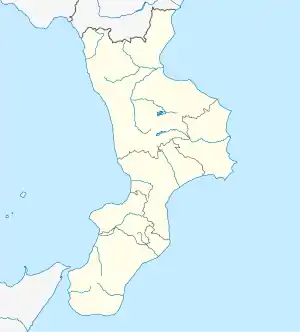 Rombiolo Rombiolo (Calabria) | |
| Coordinates: 38°35′31″N 16°0′6″E / 38.59194°N 16.00167°E | |
| Country | Italy |
| Region | Calabria |
| Province | Vibo Valentia (VV) |
| Frazioni | Pernocari, Moladi, Presinaci,Garavati, Orsigliadi |
| Area | |
| • Total | 22.81 km2 (8.81 sq mi) |
| Elevation | 460 m (1,510 ft) |
| Population (2018-01-01)[2] | |
| • Total | 4,730 |
| • Density | 210/km2 (540/sq mi) |
| Demonym | Rombiolesi |
| Time zone | UTC+1 (CET) |
| • Summer (DST) | UTC+2 (CEST) |
| Postal code | 89841 |
| Dialing code | 0963 |
| Patron saint | Michael the Archangel |
| Saint day | 29 September |
| Website | Official website |
Rombiolo (Calabrian: Rumbiòlu) is a town and comune of the province of Vibo Valentia in the Calabria region of southern Italy.
Geography
Rombiolo borders the following municipalities: Filandari, Limbadi, San Calogero, Spilinga, Zungri.
References
- ↑ "Superficie di Comuni Province e Regioni italiane al 9 ottobre 2011". Italian National Institute of Statistics. Retrieved 16 March 2019.
- ↑ "Popolazione Residente al 1° Gennaio 2018". Italian National Institute of Statistics. Retrieved 16 March 2019.
This article is issued from Wikipedia. The text is licensed under Creative Commons - Attribution - Sharealike. Additional terms may apply for the media files.