Ricigliano | |
|---|---|
| Comune di Ricigliano | |
 Hannibal's Bridge on the river Melandro | |
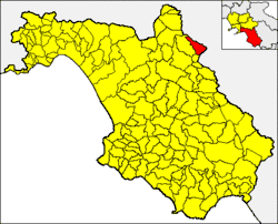 Ricigliano within the Province of Salerno | |
Location of Ricigliano | |
 Ricigliano Location of Ricigliano in Italy 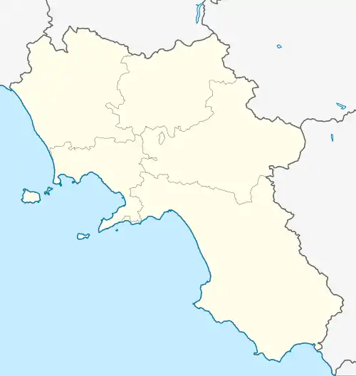 Ricigliano Ricigliano (Campania) | |
| Coordinates: 40°40′N 15°29′E / 40.667°N 15.483°E | |
| Country | Italy |
| Region | Campania |
| Province | Salerno (SA) |
| Area | |
| • Total | 27 km2 (10 sq mi) |
| Elevation | 560 m (1,840 ft) |
| Population (1 April 2009)[2] | |
| • Total | 1,283 |
| • Density | 48/km2 (120/sq mi) |
| Demonym | Riciglianesi |
| Time zone | UTC+1 (CET) |
| • Summer (DST) | UTC+2 (CEST) |
| Postal code | 84020 |
| Dialing code | 0828 |
| ISTAT code | 065105 |
| Patron saint | san Cristoforo |
| Saint day | 25 July |
| Website | Official website |
Ricigliano is a town and comune in the province of Salerno in the Campania region of south-western Italy.
Geography
The municipality borders with Balvano (PZ), Muro Lucano (PZ), Romagnano al Monte and San Gregorio Magno.
References
- ↑ "Superficie di Comuni Province e Regioni italiane al 9 ottobre 2011". Italian National Institute of Statistics. Retrieved 16 March 2019.
- ↑ All demographics and other statistics from the Italian statistical institute (Istat); Dati - Popolazione residente all'1/4/2009
External links
![]() Media related to Ricigliano at Wikimedia Commons
Media related to Ricigliano at Wikimedia Commons
This article is issued from Wikipedia. The text is licensed under Creative Commons - Attribution - Sharealike. Additional terms may apply for the media files.