Reisstraße | |
|---|---|
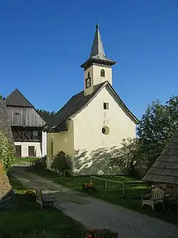 Chapel in Reisstraße | |
 Reisstraße Location within Austria | |
| Coordinates: 47°08′05″N 14°49′47″E / 47.13472°N 14.82972°E | |
| Country | Austria |
| State | Styria |
| District | Murtal |
| Government | |
| • Mayor | Georg Hofbauer (ÖVP) |
| Area | |
| • Total | 62.28 km2 (24.05 sq mi) |
| Elevation | 842 m (2,762 ft) |
| Population (1 January 2016)[1] | |
| • Total | 167 |
| • Density | 2.7/km2 (6.9/sq mi) |
| Time zone | UTC+1 (CET) |
| • Summer (DST) | UTC+2 (CEST) |
| Postal code | 8741 |
| Area code | 03516 |
| Vehicle registration | JU |
| Website | www.reisstraße. steiermark.at |
Reisstraße is a former municipality in the district of Murtal in Styria, Austria. Since the 2015 Styria municipal structural reform, it is part of the municipality Weißkirchen in Steiermark.[2]
References
This article is issued from Wikipedia. The text is licensed under Creative Commons - Attribution - Sharealike. Additional terms may apply for the media files.