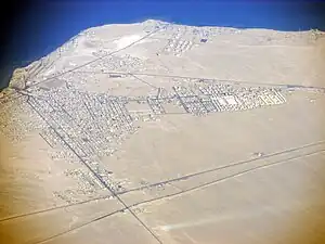
Ra's Ghareb
راس غارب | |
|---|---|
 | |
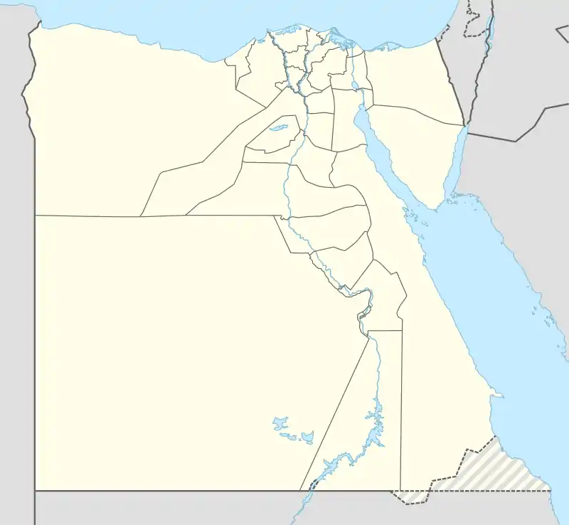 Ra's Ghareb Location in Egypt | |
| Coordinates: 28°21′35″N 33°04′39″E / 28.35972°N 33.07750°E | |
| Country | |
| Governorate | Red Sea |
| Area | |
| • Total | 13,847 km2 (5,346 sq mi) |
| Elevation | 16 m (52 ft) |
| Population (2021)[1] | |
| • Total | 45,108 |
| • Density | 3.3/km2 (8.4/sq mi) |
| Time zone | UTC+3 (EET) |
Ra's Ghareb (Arabic: راس غارب Rās Ġāreb pronounced [ɾɑːs ˈɣæːɾeb]) is the northernmost of the markazes (municipalities) in the Red Sea Governorate, Egypt, situated on the African side of the Gulf of Suez. It has an area of 10,464.46 km². At the 2006 Egyptian national census, the population numbered 32,369.[2] It is one of the leading centers of petroleum production in Egypt, having housed the main operations for first the Anglo-Egyptian Oil Company (a branch of Royal Dutch Shell) and then the Egyptian national petroleum company. For a time it was the capital of the Red Sea Governorate.
See also
References
- 1 2 3 "Ras Ghārib (Kism (urban and rural parts), Egypt) - Population Statistics, Charts, Map and Location". www.citypopulation.de. Retrieved 17 March 2023.
- ↑ Citypopulation.de
28°21′35″N 33°04′39″E / 28.35972°N 33.07750°E
This article is issued from Wikipedia. The text is licensed under Creative Commons - Attribution - Sharealike. Additional terms may apply for the media files.