Rammanahalli | |
|---|---|
Town | |
 Sathgalli KSRTC Bus Station | |
| Coordinates: 12°11′32″N 76°39′55″E / 12.19222°N 76.66528°E | |
| Country | |
| State | Karnataka |
| District | Mysore |
| Talukas | Mysore |
| Government | |
| • Body | Town Panchayat |
| Area | |
| • Total | 22.81 km2 (8.81 sq mi) |
| Population (2011) | |
| • Total | 20,804 |
| • Density | 910/km2 (2,400/sq mi) |
| Languages | |
| • Official | Kannada |
| Time zone | UTC+5:30 (IST) |
| ISO 3166 code | IN-KA |
| Vehicle registration | KA |
| Nearest city | Mysore |
Rammanahalli is a Town and a suburb of Mysore in the Mysuru metropolitan area of Karnataka, India.[1][2] It is located in the Mysore taluk of Mysore district. In November 2020, Kadakola was upgraded from a Gram Panchayat to a Town Panchayat and a gazetted notification was passed on November 26, 2020.[3][4] The notification combines Rammanahalli GP villages, Nadanahalli and Alanahalli (outside of Ring Road) of Alanahalli GP, Hanchya and Sathagalli villages of Hanchya GP, covering a total area of 22.81 sq. km.[3] The combined population of the town according to 2011 census was 20,804.[5]
Demographics
According to census 2011, combined population of the town according to 2011 census was 20,804.[5] Population breakdown is given below.
| Area Name | Population According to Census 2011 |
| Rammanahalli | 9584 |
| Nadanahalli | 2808 |
| Alanahalli | 6779 |
| Hanchya | 4743 |
| Sathgalli | 819 |
Localities
- Rammanahalli
- Sathgalli
- Nadanahalli
- Hanchya
- Alanahalli
- KBL Layout
- Nandini Layout
- Buguthagalli
Landmarks
- Sathgalli Bus Station
- VTU Regional Center
- Vidya Vikas Engineering College
- Jalmahal Resort
- Jnanasarovara International School
- Alanahalli Police Station
- Sathgalli Police Station
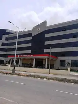
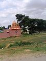
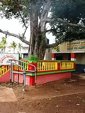
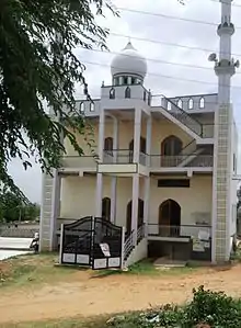
Gallery


.jpg.webp)
.jpg.webp)
.jpg.webp)
.jpg.webp)
See also
References
- ↑ Village code= 2819700 "Census of India : Villages with population 5000 & above". Registrar General & Census Commissioner, India. Retrieved 18 December 2008.
- ↑ "Yahoomaps India". Archived from the original on 18 December 2008. Retrieved 18 December 2008. Kadakola, Mysore, Karnataka
- 1 2 "Hootagalli CMC and four Town Panchayats formed: Govt. issues Gazette notification". Star of Mysore. 26 November 2020. Retrieved 6 December 2020.
- ↑ "Gazette Notification" (PDF).
- 1 2 "Census 2011 Handbook Mysore" (PDF).
External links
- "Mysuru District Information". Mysore.nic.in. Retrieved 1 May 2016.
This article is issued from Wikipedia. The text is licensed under Creative Commons - Attribution - Sharealike. Additional terms may apply for the media files.