Ramada | |
|---|---|
 Coat of arms | |
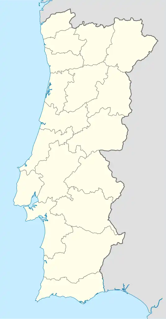 Ramada Location in Portugal | |
| Coordinates: 38°48′14″N 9°11′28″W / 38.804°N 9.191°W | |
| Country | |
| Region | Lisbon |
| Metropolitan area | Lisbon |
| District | Lisbon |
| Municipality | Odivelas |
| Disbanded | 2013 |
| Area | |
| • Total | 3.86 km2 (1.49 sq mi) |
| Population (2001) | |
| • Total | 15,770 |
| • Density | 4,100/km2 (11,000/sq mi) |
| Time zone | UTC±00:00 (WET) |
| • Summer (DST) | UTC+01:00 (WEST) |
Ramada (Portuguese pronunciation: [ʁɐˈmaðɐ]) is a former civil parish in the municipality of Odivelas, Portugal. In 2013, the parish merged into the new parish Ramada e Caneças.[1] It covers an area of 3.86 km² and had a population of 15,770 as of 2001.
References
- ↑ Diário da República. "Law nr. 11-A/2013, page 552 82" (PDF) (in Portuguese). Retrieved 29 July 2014.
This article is issued from Wikipedia. The text is licensed under Creative Commons - Attribution - Sharealike. Additional terms may apply for the media files.