| Qullqa Sirka | |
|---|---|
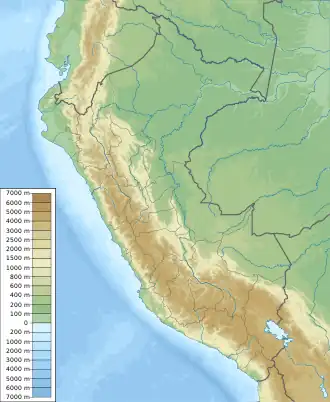 Qullqa Sirka Location within Peru | |
| Highest point | |
| Elevation | 5,000 m (16,000 ft)[1] |
| Coordinates | 15°17′10″S 70°47′33″W / 15.28611°S 70.79250°W |
| Geography | |
| Location | Peru |
| Parent range | Andes |
Qullqa Sirka (Aymara qullqa granary, sirka vein of the body or a mine,[2] "granary vein", also spelled Colcasirca) is a mountain in the Andes of Peru, about 5,000 m (16,000 ft) high. It is located in the Puno Region, Lampa Province, Ocuviri District. Qullqa Sirka lies north of Machu Kunturi and northeast of T'akra.[1]
References
- 1 2 escale.minedu.gob.pe - UGEL map of the Lampa Province (Puno Region)
- ↑ Radio San Gabriel, "Instituto Radiofonico de Promoción Aymara" (IRPA) 1993, Republicado por Instituto de las Lenguas y Literaturas Andinas-Amazónicas (ILLLA-A) 2011, Transcripción del Vocabulario de la Lengua Aymara, P. Ludovico Bertonio 1612 (Spanish-Aymara-Aymara-Spanish dictionary)
This article is issued from Wikipedia. The text is licensed under Creative Commons - Attribution - Sharealike. Additional terms may apply for the media files.