Puy-Saint-André | |
|---|---|
 | |
 Coat of arms | |
Location of Puy-Saint-André | |
 Puy-Saint-André 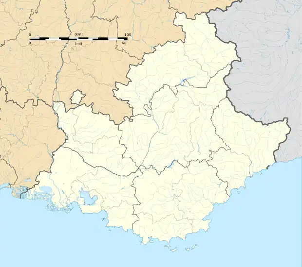 Puy-Saint-André | |
| Coordinates: 44°52′47″N 6°35′57″E / 44.8797°N 6.5992°E | |
| Country | France |
| Region | Provence-Alpes-Côte d'Azur |
| Department | Hautes-Alpes |
| Arrondissement | Briançon |
| Canton | Briançon-1 |
| Intercommunality | Briançonnais |
| Government | |
| • Mayor (2020–2026) | Estelle Arnaud[1] |
| Area 1 | 15.37 km2 (5.93 sq mi) |
| Population | 465 |
| • Density | 30/km2 (78/sq mi) |
| Time zone | UTC+01:00 (CET) |
| • Summer (DST) | UTC+02:00 (CEST) |
| INSEE/Postal code | 05107 /05100 |
| Elevation | 1,159–2,923 m (3,802–9,590 ft) (avg. 1,430 m or 4,690 ft) |
| 1 French Land Register data, which excludes lakes, ponds, glaciers > 1 km2 (0.386 sq mi or 247 acres) and river estuaries. | |
Puy-Saint-André (French pronunciation: [pɥi sɛ̃.t‿ɑ̃dʁe]; Occitan: Puei Sant Andreu) is a commune in the Hautes-Alpes department in southeastern France.
Population
| Year | Pop. | ±% |
|---|---|---|
| 1962 | 55 | — |
| 1968 | 89 | +61.8% |
| 1975 | 64 | −28.1% |
| 1982 | 197 | +207.8% |
| 1990 | 287 | +45.7% |
| 1999 | 462 | +61.0% |
| 2008 | 471 | +1.9% |
See also
References
- ↑ "Répertoire national des élus: les maires". data.gouv.fr, Plateforme ouverte des données publiques françaises (in French). 2 December 2020.
- ↑ "Populations légales 2021". The National Institute of Statistics and Economic Studies. 28 December 2023.
Wikimedia Commons has media related to Puy-Saint-André.
This article is issued from Wikipedia. The text is licensed under Creative Commons - Attribution - Sharealike. Additional terms may apply for the media files.